Kaheawai Trail and Manuka Bay
Adventurous, hot, difficult routefinding through a'a' lava
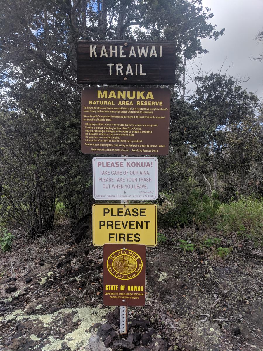
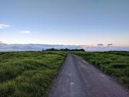
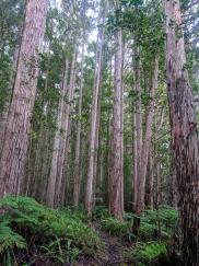
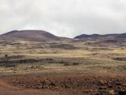
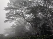
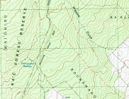
The Kaheawai Trail is one of the few true wilderness trails on the Big Island. Starting in the Manuka Natural Reserve’s O’hia forest on Highway 11, it descends 6.5 miles through hot, rough a’a’ lava fields to the coast. From there, a network of 4wd roads provides access to Manuka Bay and beach, as well as options for turning the route into a one-way U-shape trek (rejoining Hwy 11 via the Mankua Bay access road) or a lollipop loop.
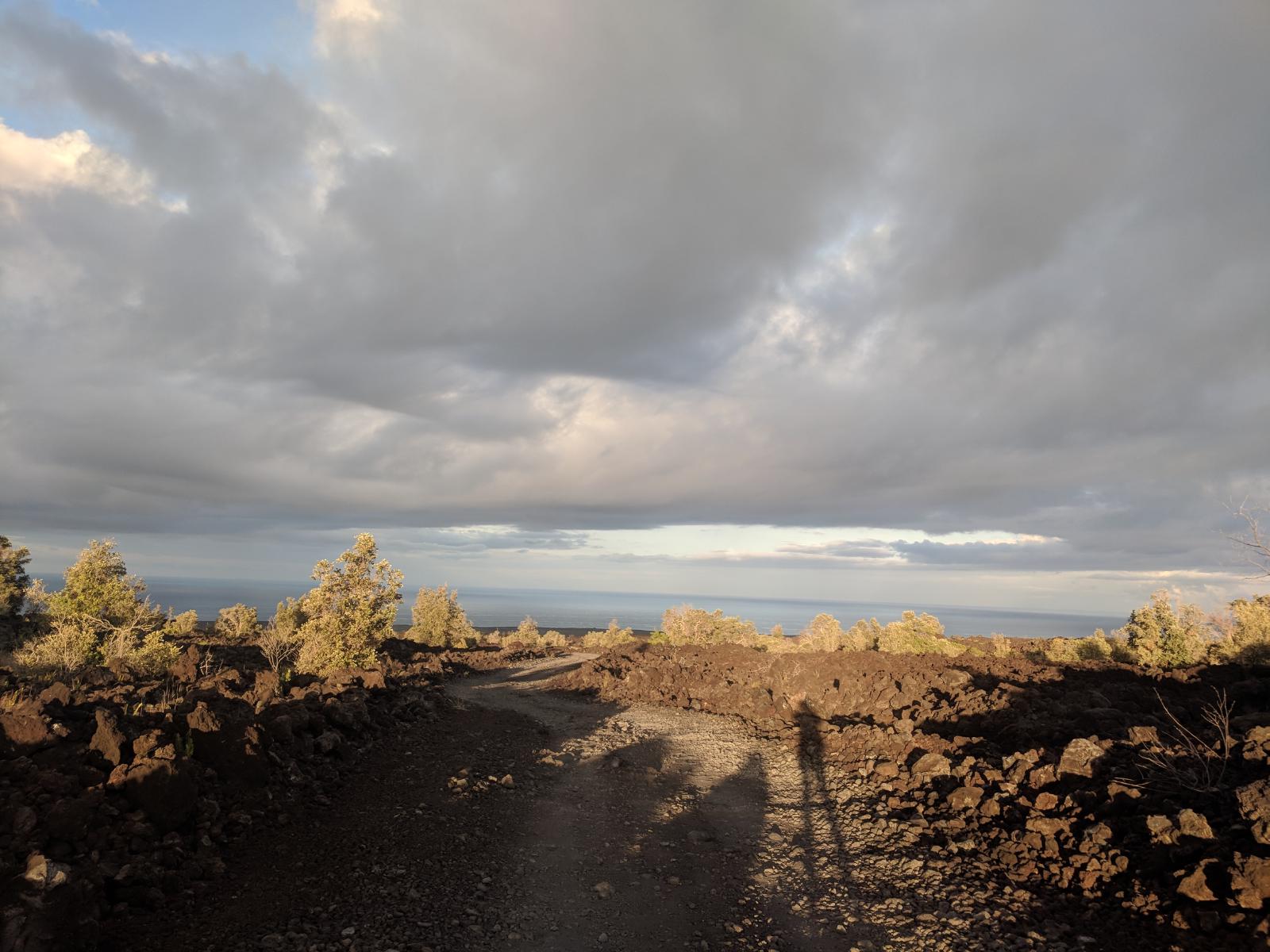
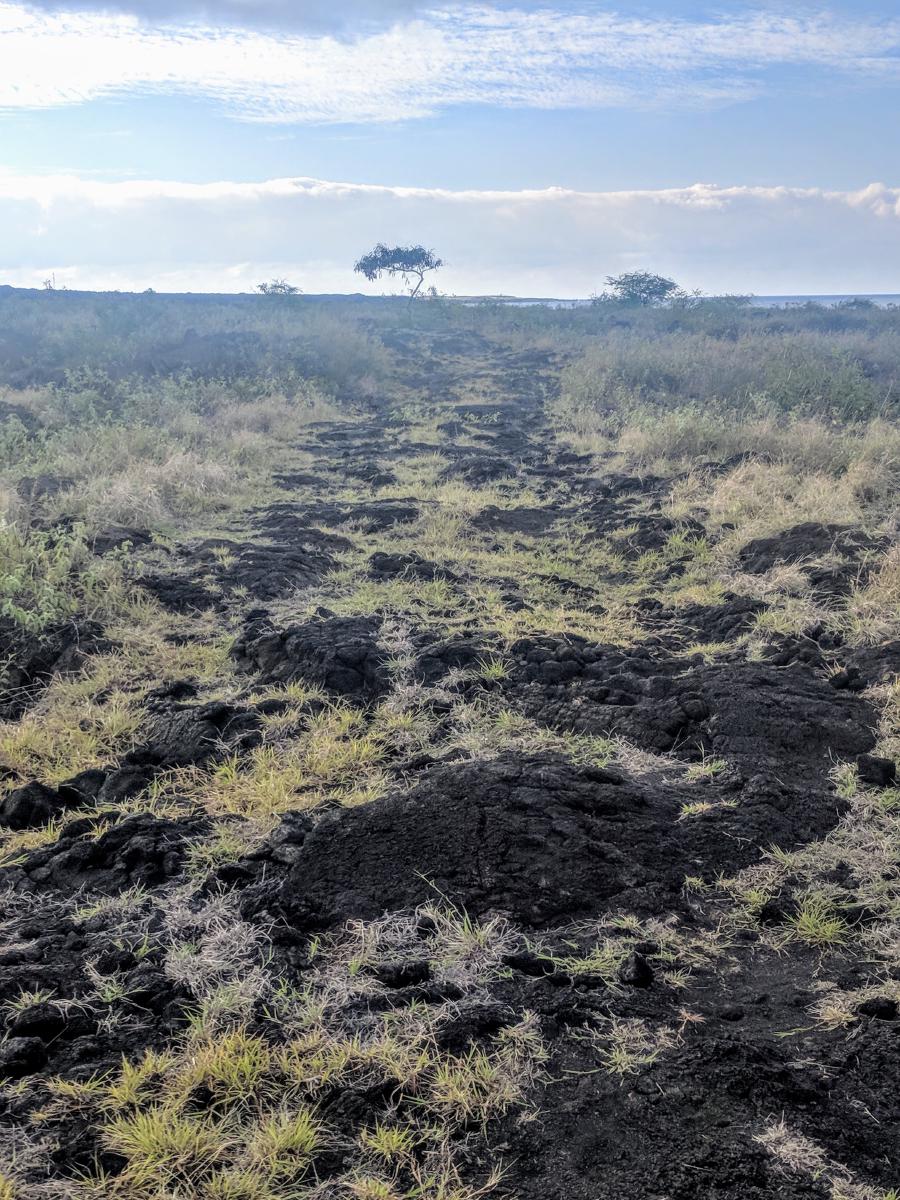
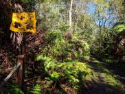
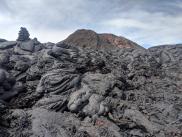
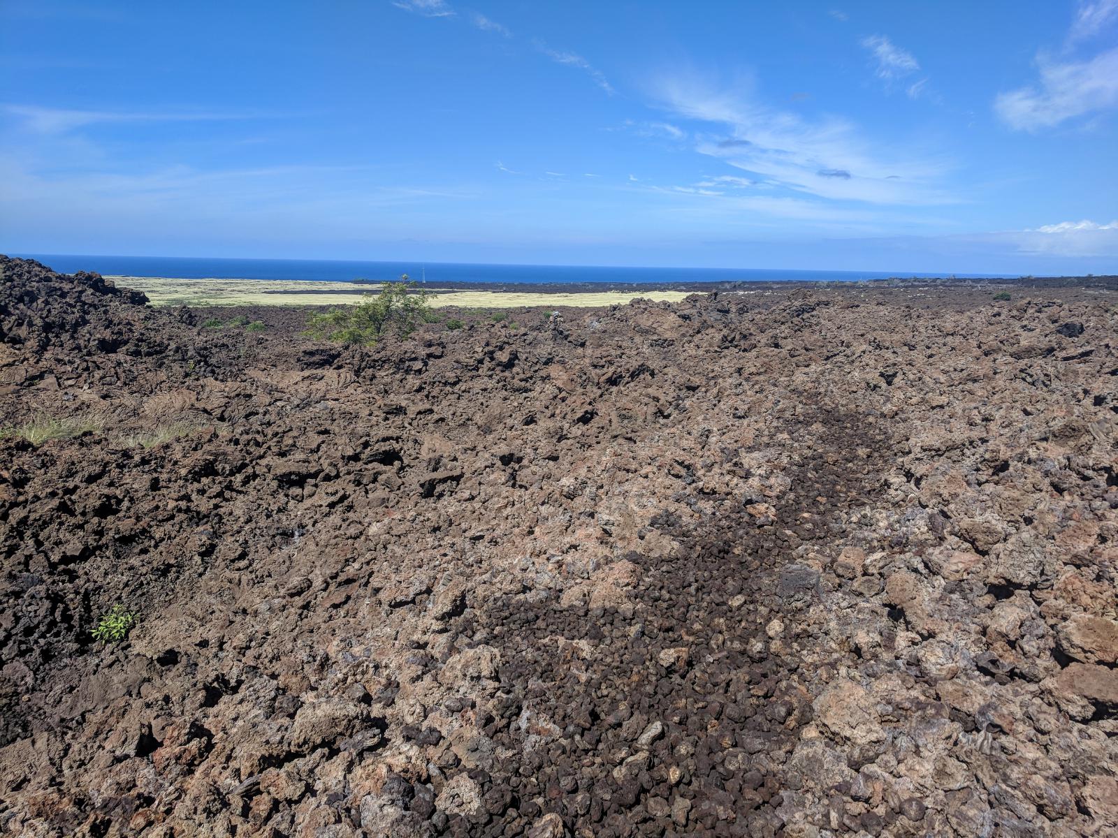
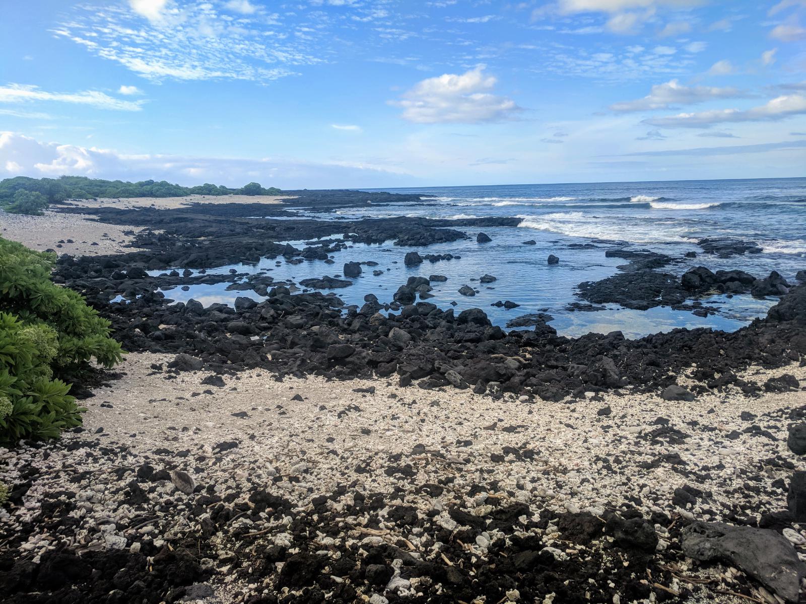
The trail begins at a goat fence just past a parking area on Highway 11, with a top-only dutch door to climb through. As it descends through the thinning O’hia trees into lava fields, the routefinding becomes increasingly difficult. The path is marked by cairns, stacked lava rocks sometimes 4-5 feet high; but even these large pillars can be difficult to spot among the chaos of the a’a’ fields which can have deceptive natural protruberances of lava mimicking their shape. More than once I found myself picking my way over rough rock toward a cairn only to discover that it was a natural pillar, with the “trail” a quarter mile off.
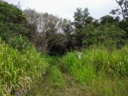
In some portions, the only indication of the trail is a faint color change – a slightly lighter brown color where the passage of people has ground off some of the fractal nubs of sharp rock, flanked by the darker color of undisturbed lava. Going off trail is hazardous and instantly grinds progress to a crawl, as the sharp, rough, unstable, clinking rock tears into your shoes and dares you to fall. As with so many trails in Hawaii, the available GPS tracks from the internet and USGS topo map routes were more of a vague approximation to the trail’s direction than a usable tool for micronavigation.

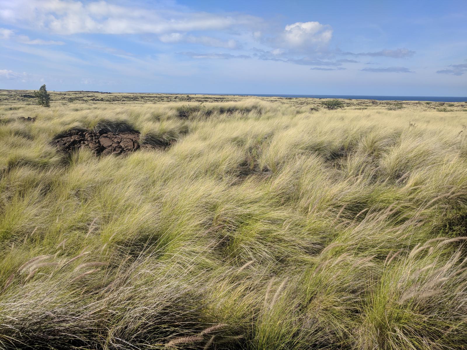
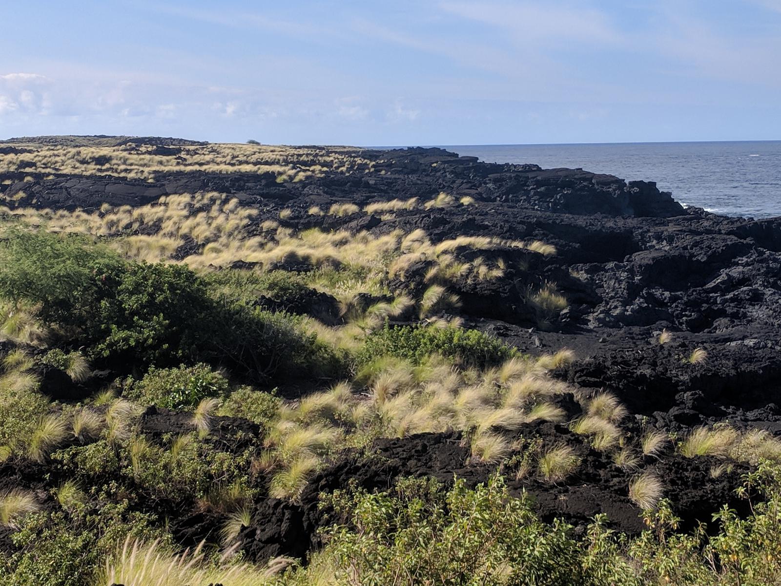
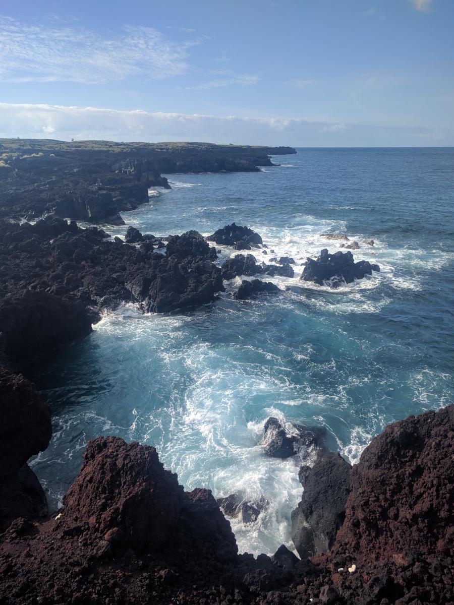
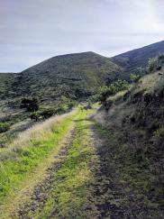
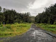
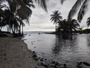
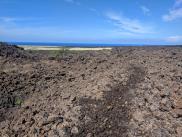
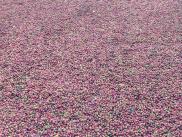
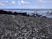
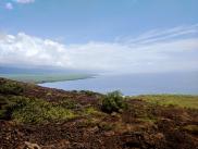
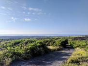
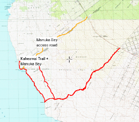
After around 6 miles, the trail passes through some fields of coastal grasses, skirts around a radio tower, and joins the coastal network of 4wd roads, providing some relief to the difficult routefinding. The coast is lively and gorgeous, with complicated rocky outcroppings, tunnels, and frothy cavorting of waves seeming to come in multiple directions at once. It’s worth taking some time to explore the side-spurs from the road that lead to rocky overlooks to see the waves’ slam-dance with the rocks. From the junction of the trail with the coastal road, it’s about 3 miles to Manuka Bay, which has a lovely white-and-black sand beach formed by a rumble of disintegrated lava and coral.
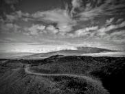
From the beach, the Manuka Bay access road extends back up hill to Highway 11. Route options abound: if you have means for a pickup (or are willing to try hitchhiking or running the highway to complete the loop), a U-shaped one-way with the Manuka Bay Road on the west and Kaheawai Trail on the east makes a nice 17-ish mile journey (not counting the highway portion). Or you could just turn around and make it a straight out-and-back. Or you could do what I did (but don’t recommend) and form a loop with the coastal roads for a lollipop-shape. I found the interior road paralleling the coast to be much less interesting than the road along the coast; I’d have preferred to repeat the coastal road section with an out-and-back rather than forcing a loop.
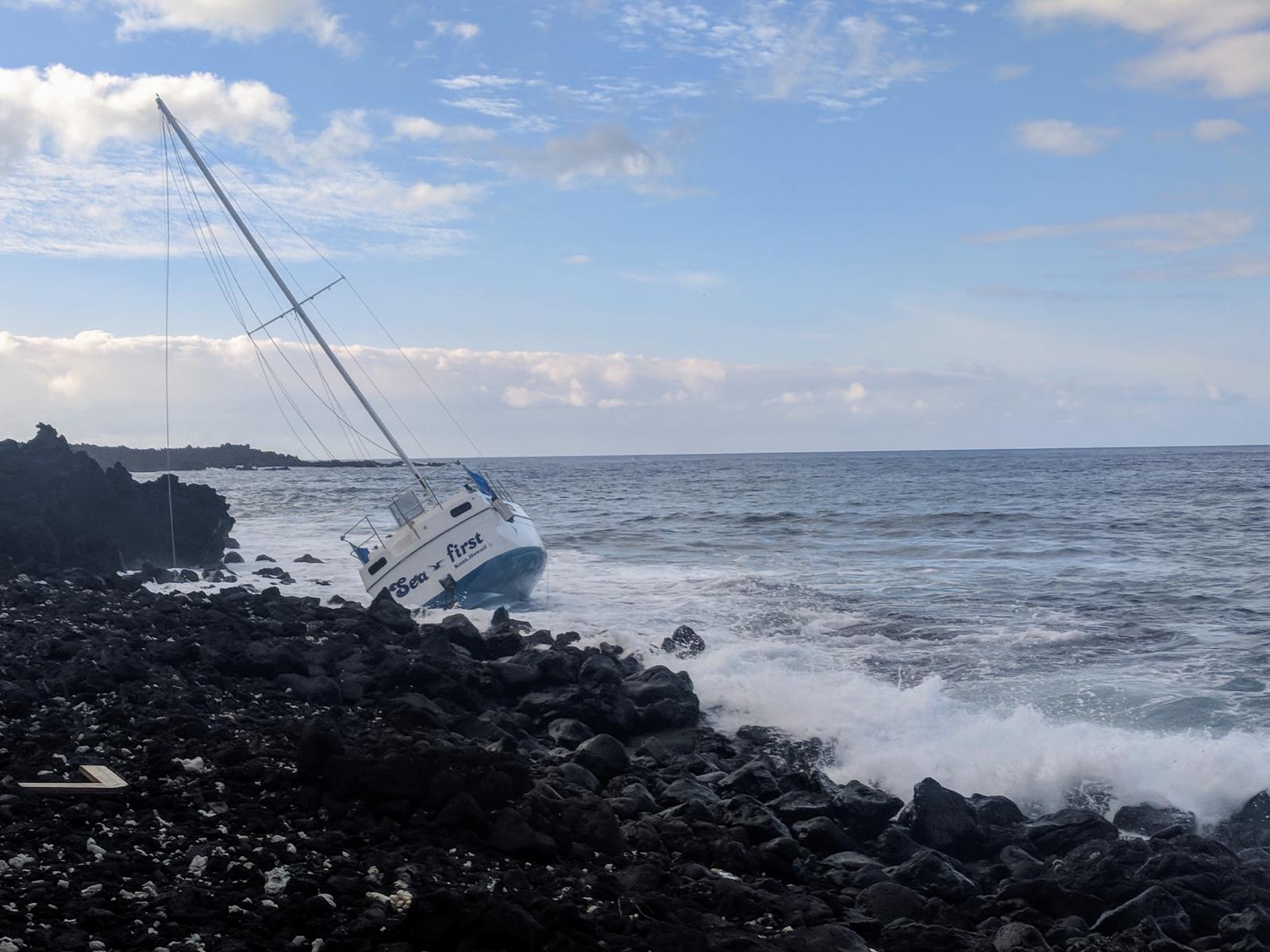
The lack of shade and heat-island effect from the perpetual a’a’ lava along the roads and lower portions of the Kaheawai Trail make for very hot going. I found 3 liters of water to be inadequate; I’d have needed at least 4-5 for the time it took me to do this route comfortably. Between the heat and challenge of routefinding, expect this to be slow-going, and plan for more water than you think you’ll need. We found the route to be utterly deserted; we didn’t see any people apart from a passing boat, so be prepared for self-rescue.
Charlie’s notes: We did a lot of hot runs in Hawaii, but this was the only one where it got dire. Even though I started with 3 liters, I ran out of water and was experiencing the beginning symptoms of heat illness by the time I got back to the car. Because of the heat, I had to walk the last 6 miles of the route, despite the mildness of the climb. Laura and I took different routes – she started at the Manuka Bay access road, ran down to the coast, and returned via the Kaheawai trail. I started at the Kaheawai Trail, went to the coast and formed a loop with coastal roads, then returned again via Kaheawai. If I had it to do over again, I’d have taken Laura’s route. The difficulty of navigating meant that even when I was fresh descending the trail in the cooler morning, the going was very slow. I’d have preferred to combine my slower uphill progress with the slow navigation, and take the easier and quicker Manuka Bay road for the descent, rather than getting bogged down in both directions. If you have a chance, do this route on a rainy day to cut the heat (you’ll be soaked through and through regardless of the weather).
Laura’s notes: Being honest, I truly enjoyed the Manuka Bay access road and the trail along the coast. I would not, however, recommend the Kaheawai trail at all. I got “off trail” (if there even is a trail) and wondered if I would be able to navigate my way to the car at all – though I had GPS track of the “trail”, there were sections where I was pushing my way through scraggly brush over rough lava. It was hot, slow going that – to me – was not worth the experience. Putting this in the category of Type III fun, even after sufficient time has passed to afford me a rosy reflection on several other tough adventures.