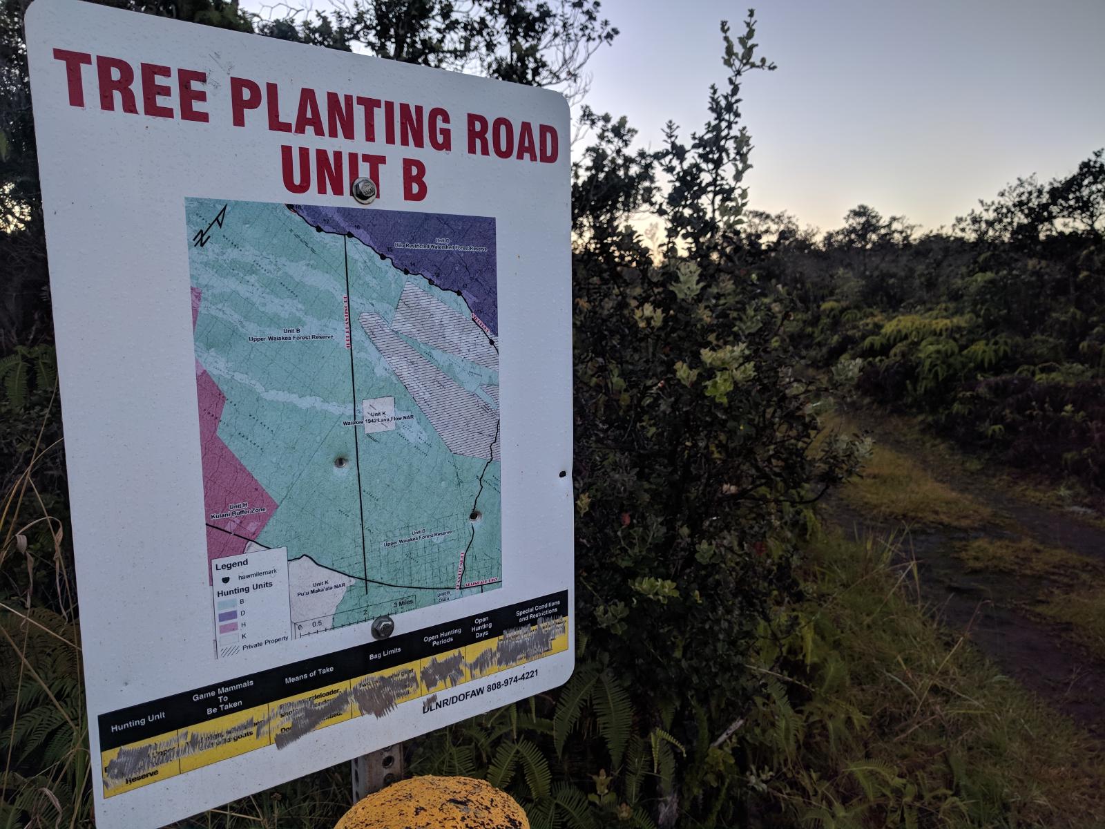
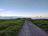
Tree Planting Road
Oddly straight road passing through several interesting life zones in the Waiakea Forest Preserve
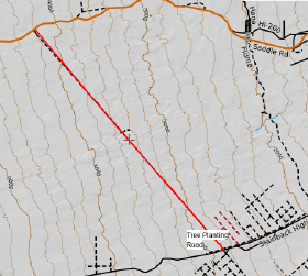
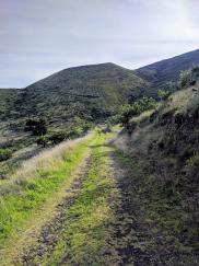
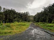
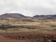
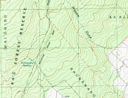
Appearing on the map as though it’s a cartographical error or boundary line rather than an actual road, Tree Planting Road is a dead-straight, 10.1mi path that runs through the Waiakea Forest Preserve. This approach to road engineering – an unwavering line ignoring considerations of topography or surface, beligerently thumbing its nose at the memory of Friedensreich Hundertwasser – is usually found in places like the midwest, where a straight line yields a benign path. But when applied to the variable topograpy of the lower Hawaiian volcanic slopes, it yields an interestingly technical run that passes through a diversity of habitats and terrain.
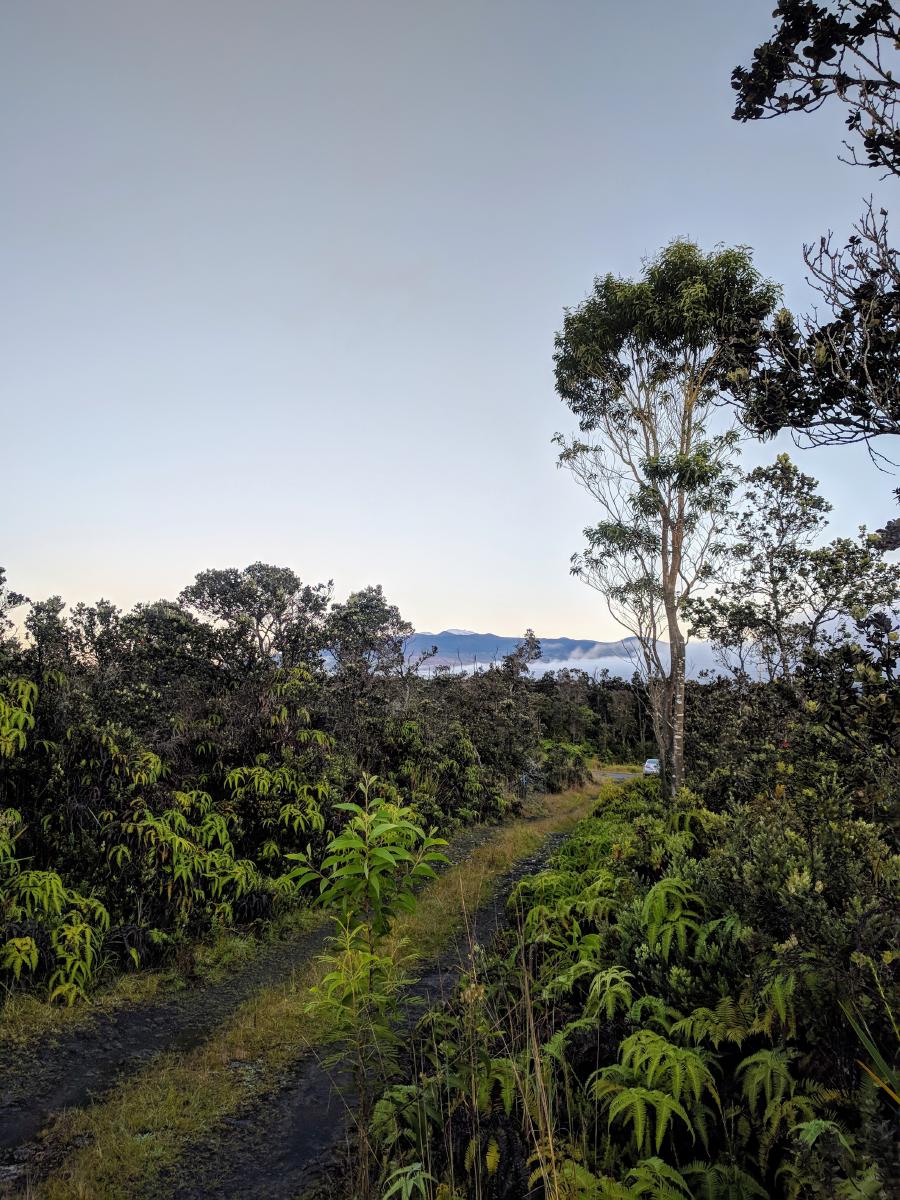
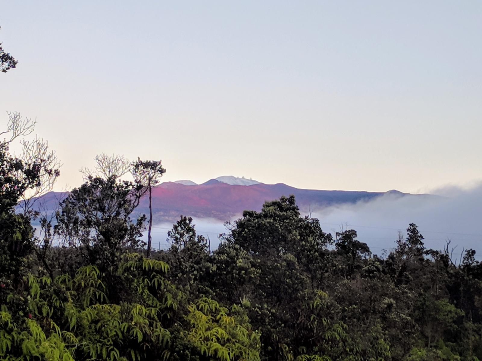
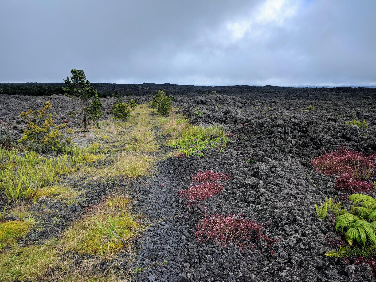
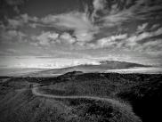
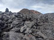
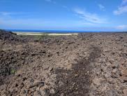
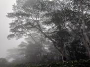
I started on the Saddle Road end. It begins in mixed Ohia forest within an older lava flow. At 2.6 miles in, it passes through a fresher a’a’ lava flow, which offers the only respite from its steady 138.7° bearing as it wiggles around some steeper drops in the rocks. If the weather is clear, this opening in the trees offers views down to Hilo and up to the Mauna Kea summit. When the road leaves the lava, it enters an odd section of dry forest treed by some sort of pine tree, which I hadn’t seen anywhere else on the island (I was not able to identify the trees).
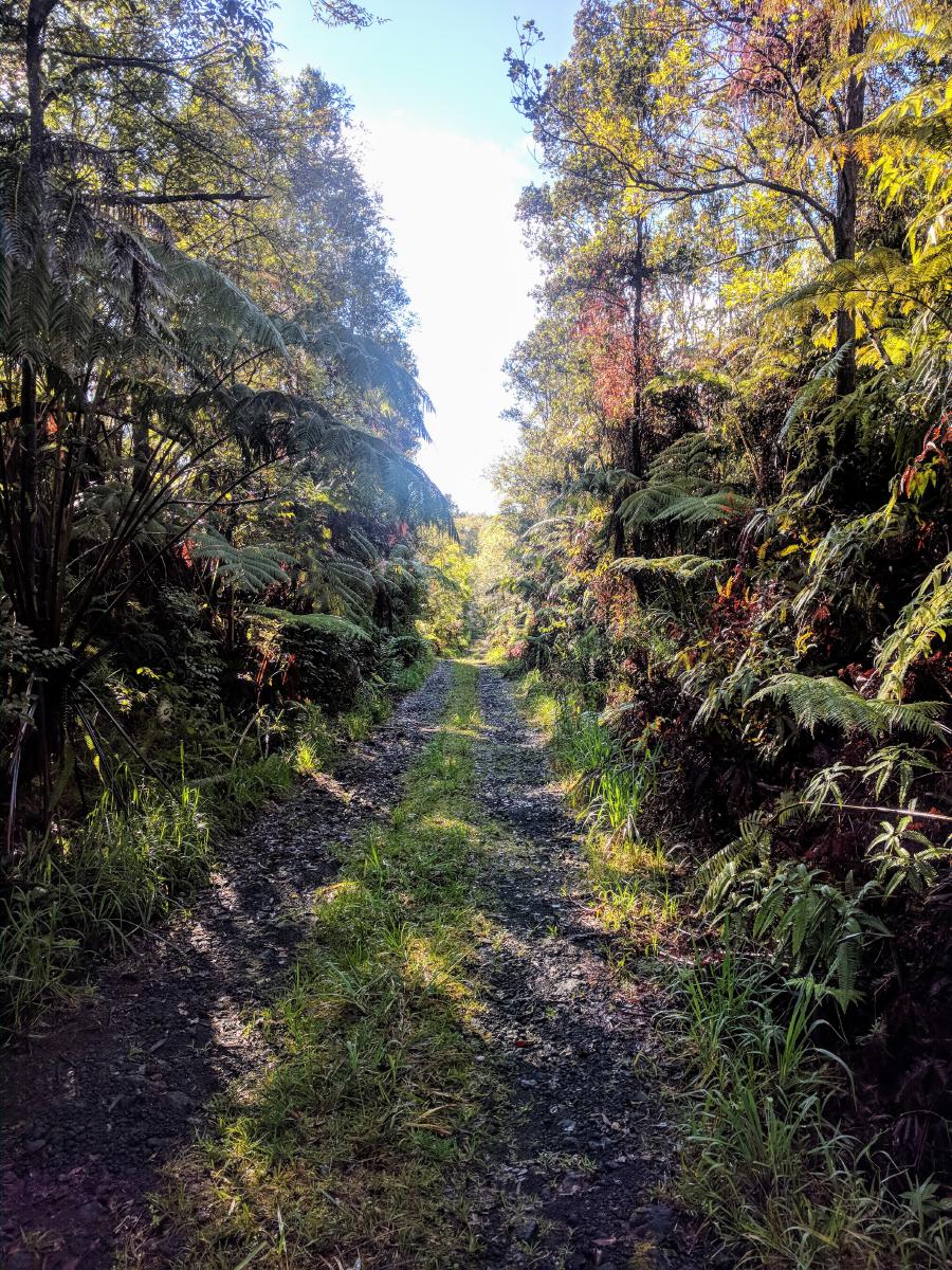
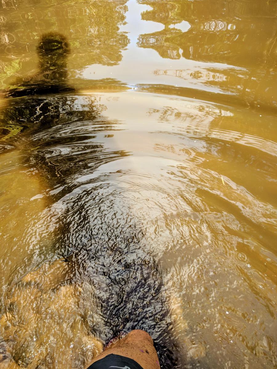
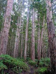
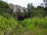
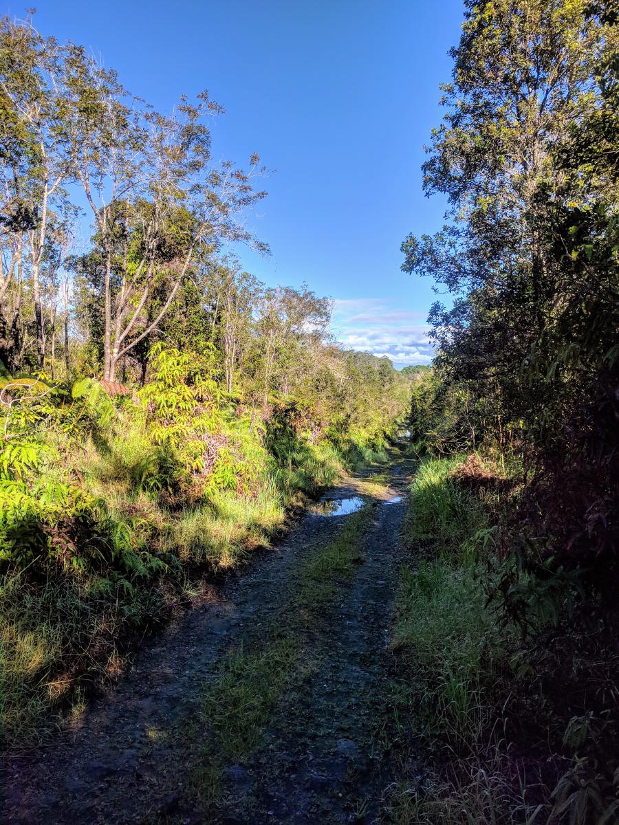
After this brief and unusual dryland forest, the road drops steadily into more typical Hawaiian jungle with fern, koa, and eucalyptus trees. And here the downsides of the straight-as-an-arrow road planning strategy emerge: the road frequently hits flat spots with wall-to-wall puddles. The deepest was around 2-3 feet deep; and the choice was either to plunge through, or to attempt to bushwack the thick jungle. From this point until I re-emerged into the pine trees on the return journey 15 miles later, there was never more than a mile without a thorough foot soaking. While the overall elevation contour appears to be a fairly steady descent, the fine contour on the ground has frequent steep drops down rocky slopes interspersed with flatter portions that are invariably under water.
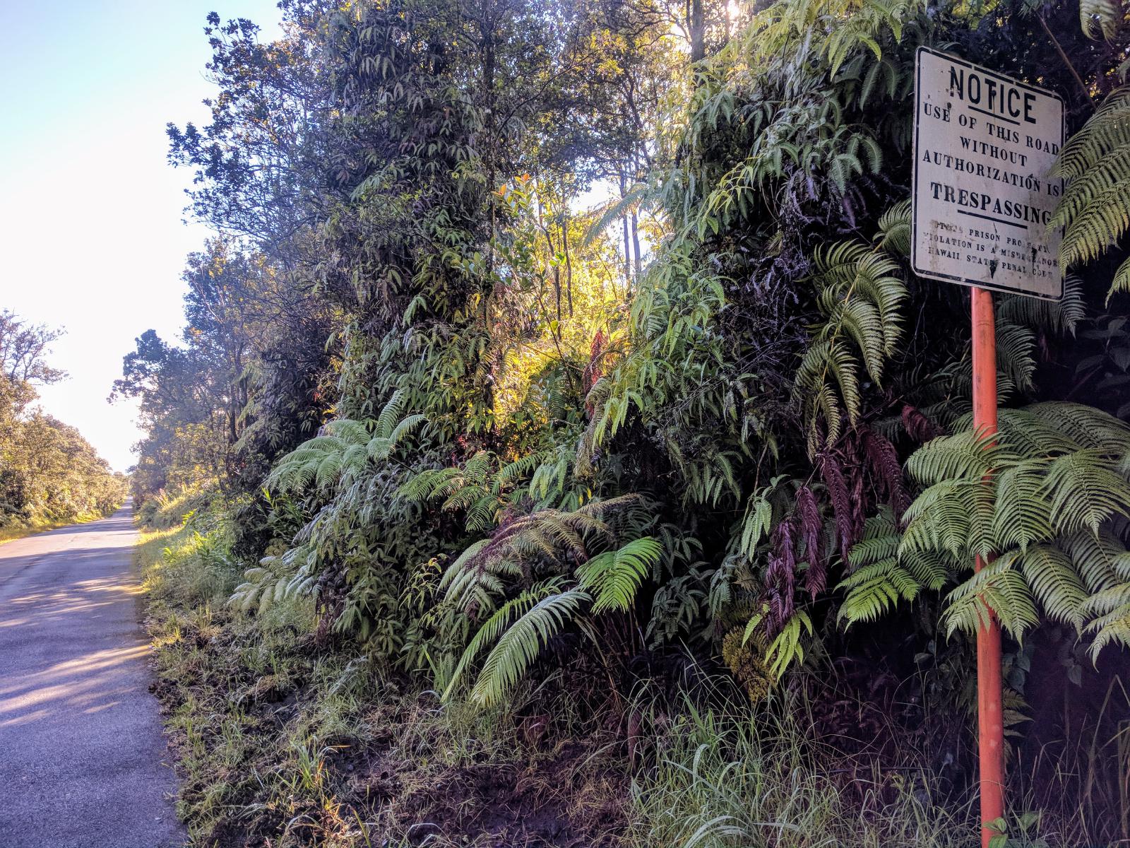
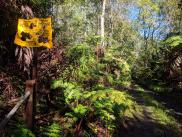
After 10 miles, the road meets the Stainback Highway. Signs on the opposite side of the highway offer stern warnings about unauthorized use of the highway constituting “tresspassing” (probably some effort to stack charges on hypothetical escapees from the prison a few miles to the East). The road’s line does continue for a mile or two on the opposite side of the highway, but I opted to turn around at the blacktop and head back up hill to Saddle Road.
The forest between the Tree Planting Road and Flume Road to the East is cut with an odd 1-mile grid of hunter’s access roads, all of which appeared significantly overgrown. An adventurous jungle explorer might enjoy delving into these less-traveled routes.
Charlie’s takeaway: This was a weird, diverse, fun and unexpectedly challenging run. Expect to get wet and stay wet for most of the trip. I’d do it again.
A car-centric description of this route can be found found on the ukuleles.com Birding Trails list.