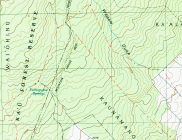
Mauna Kea R1
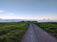
A dirt road encircling 3/4 of Mauna Kea between 5800' and 9500'
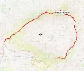
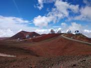
While running the R1 to Skyline Road route a month earlier, I noticed the mile marker reading “Mile 36” near the Kilohana Hunter Checking Station. The other end, 36 miles away, is the Mauna Kea Visitor’s Center, at 9500’ on the eastern slope of the mountain. Poring over the map, I realized that R1 circles three sides of Mauna Kea, presumably with epic views the whole way, as it climbs from 5800’ at the Kilohana Hunter station to the visitor’s center on the other end. This seemed runnable; so after cajoling Laura into providing a dropoff at one end and pickup at the other, I went for it.
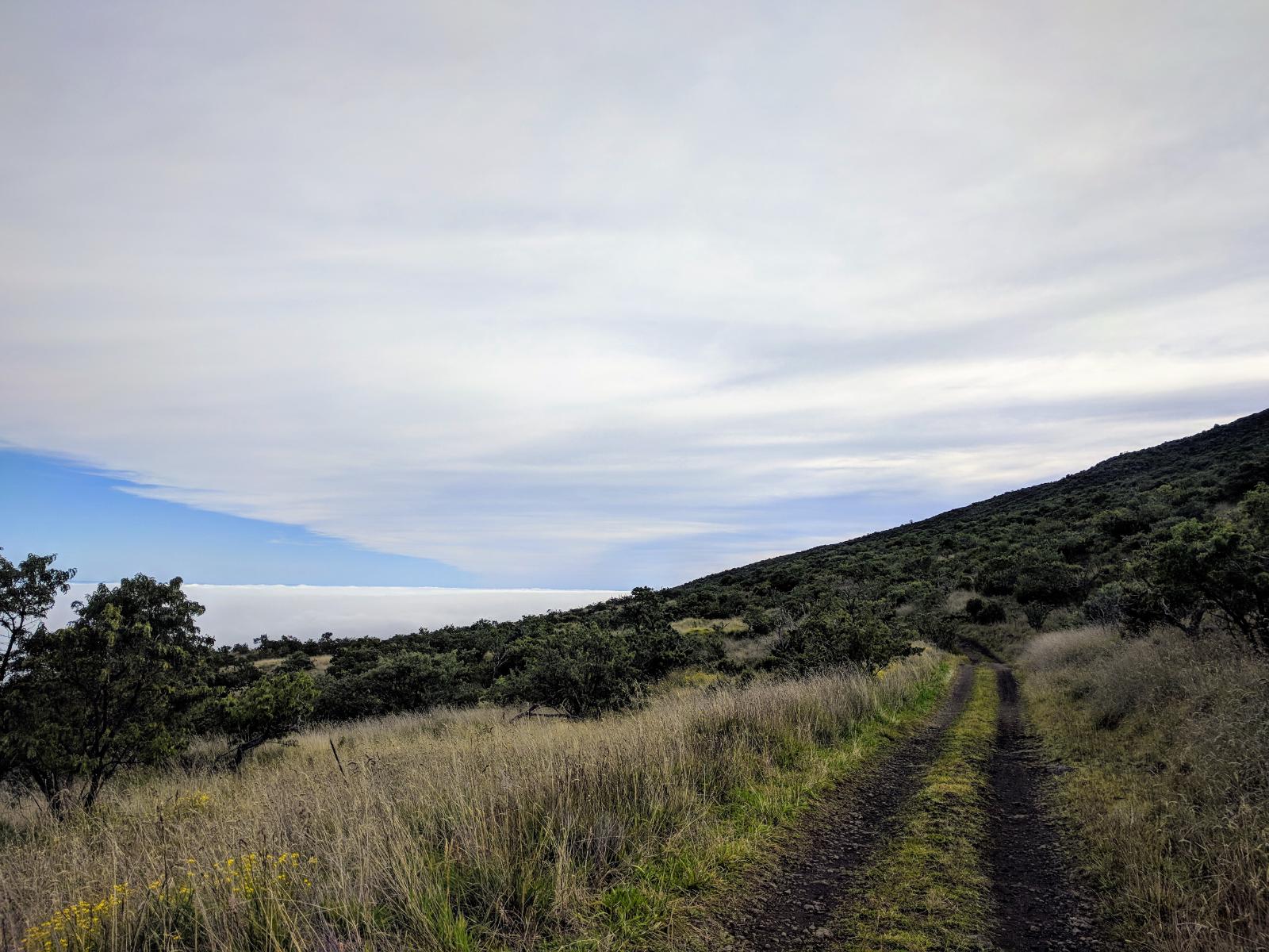
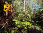
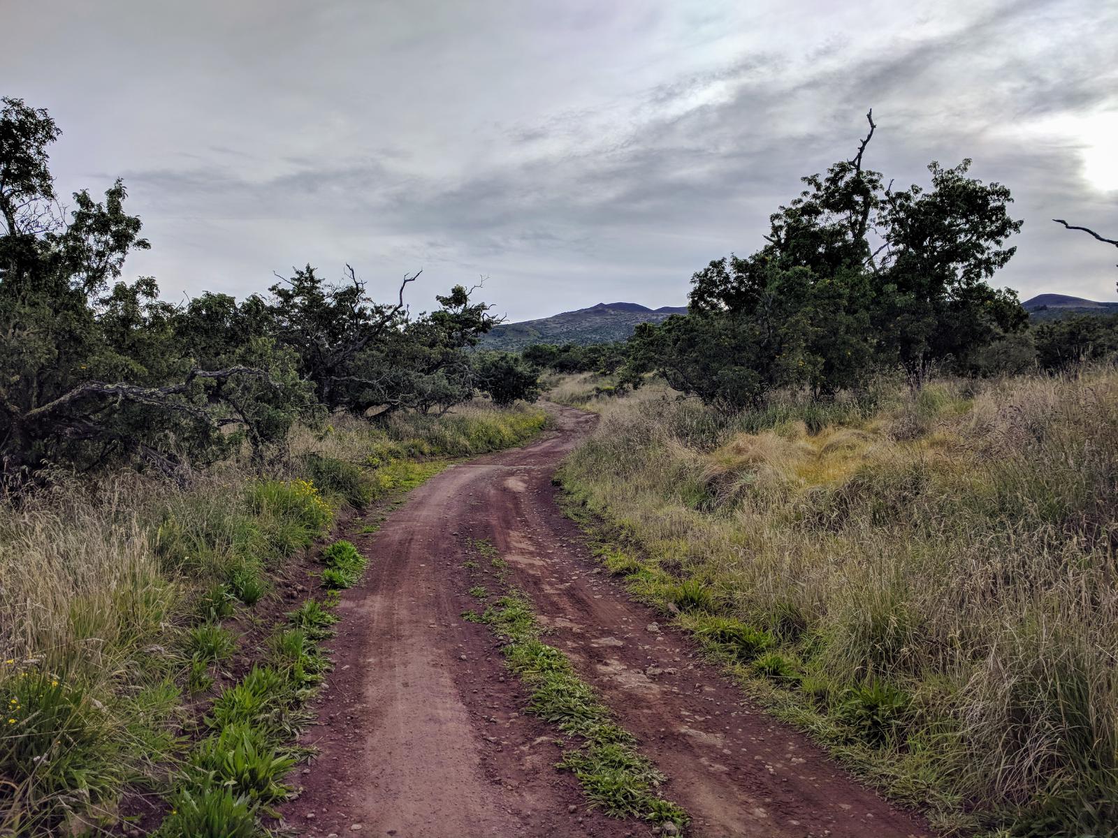
Like many rural routes in Hawaii, this one is primarily intended for hunter’s access, so bright colored clothing is recommended. But the R1 also attracts a fair number of recreational off-road enthusiasts. Expect to be passed by infrequent 4wd vehicles on the route (I saw around half a dozen during my traverse). Beginning at the already high and cool 5800’ Kilohana Hunter Station, the route includes nearly 9000’ of rolling climbs as it gradually gains contours in its encircling route. I was blessed with a sunny day with no showers; but the route is rather exposed, and could prove hazardous if thunderstorms passed through. Other than Saddle Road at the west end and the Mauna Kea Access Road on the east, there are no other direct escape routes.
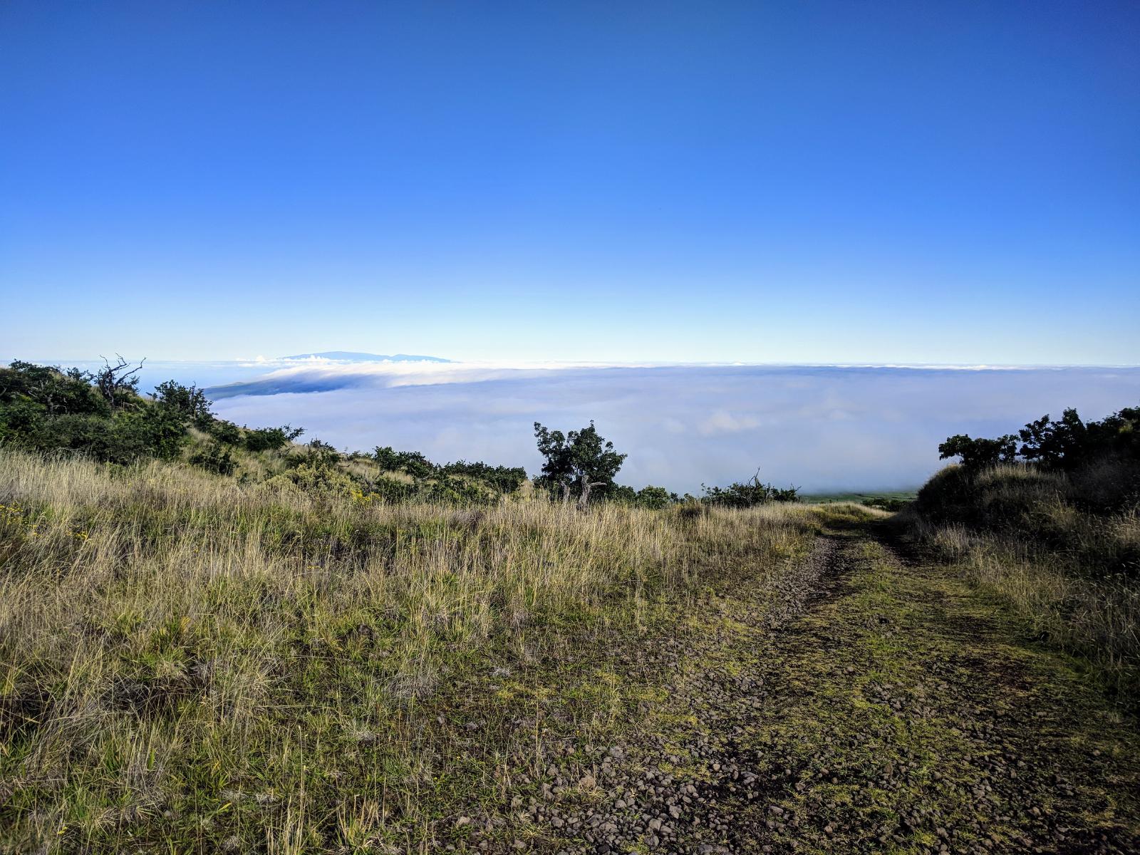
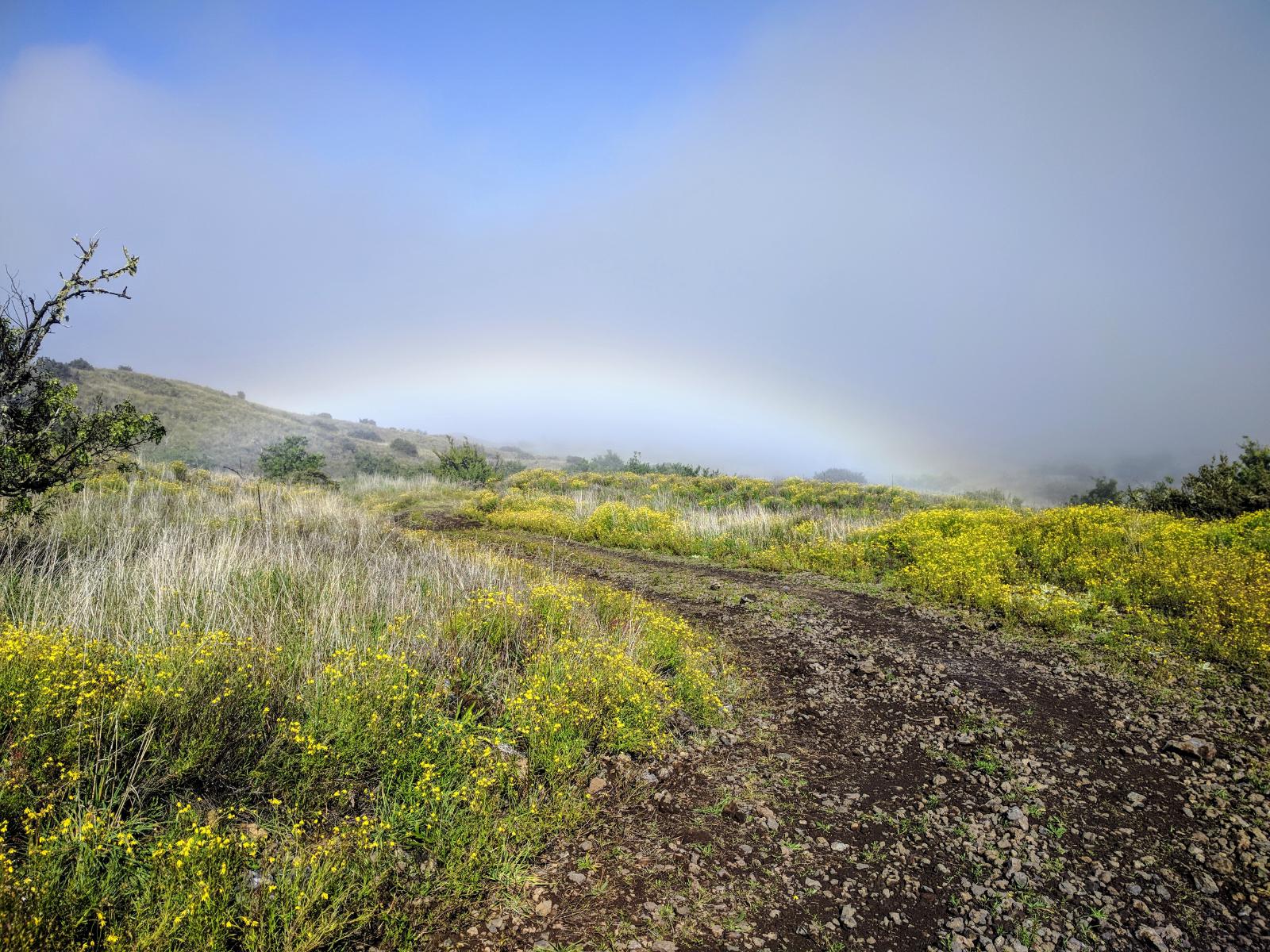
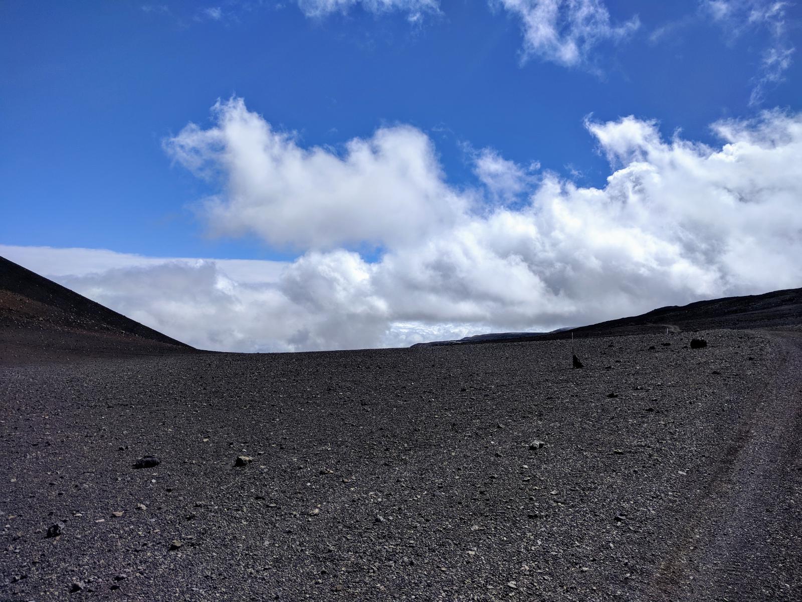
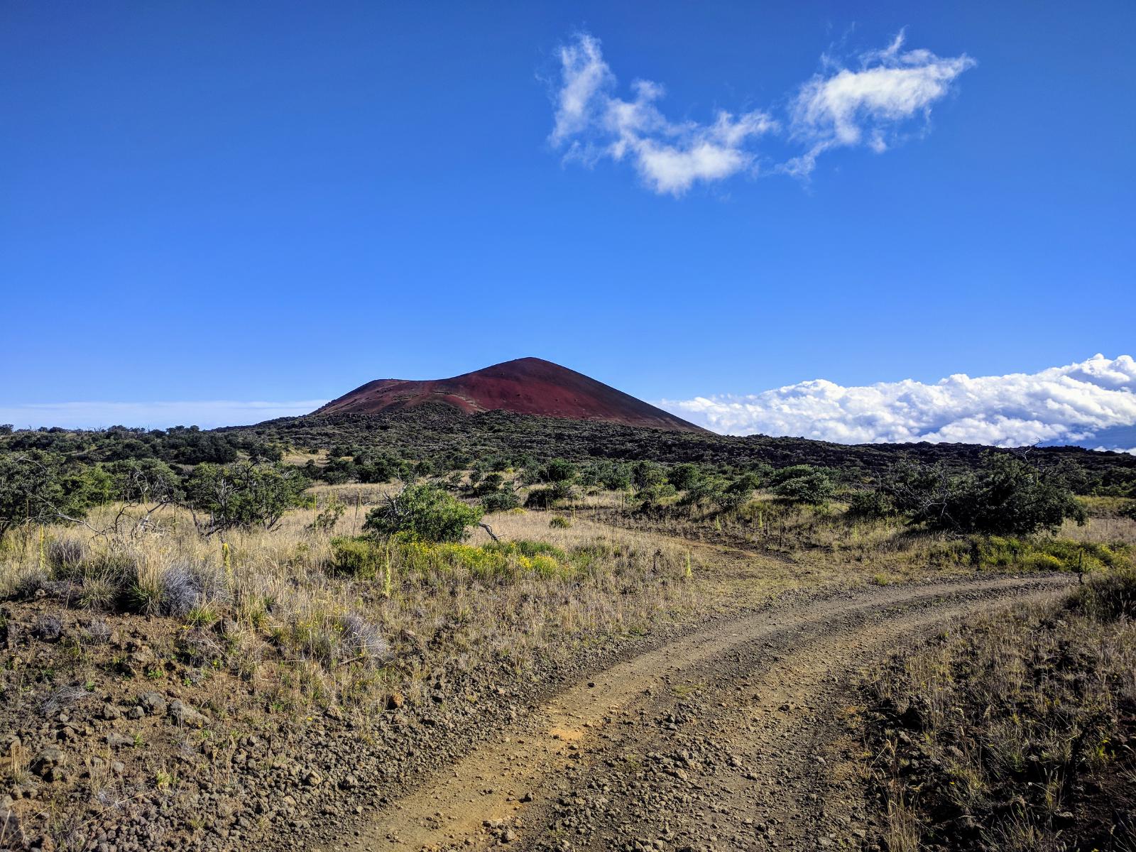
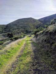
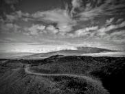
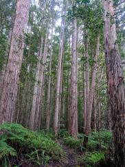
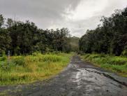
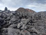
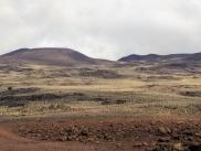
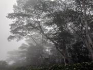
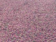
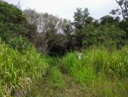
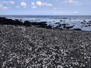
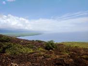
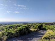
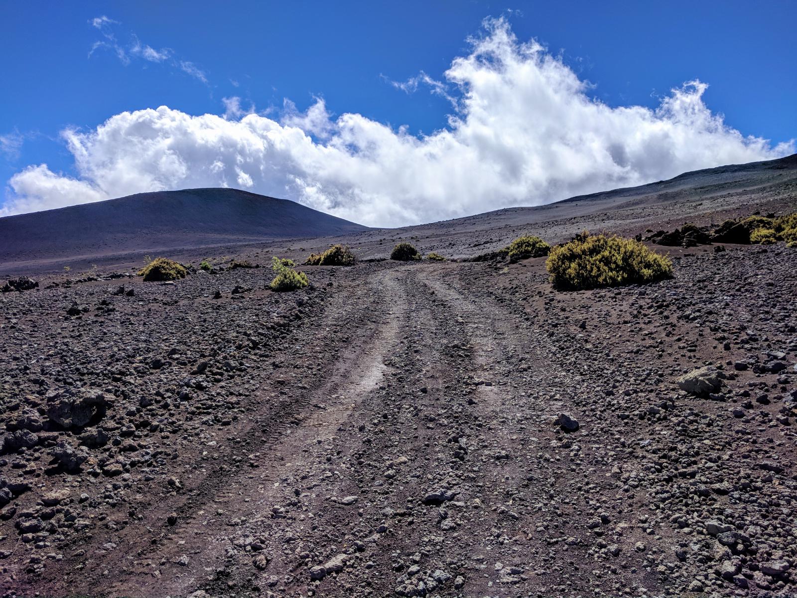
The road is fairly well maintained; the majority either packed sand or gravel. The first 15 miles climb through Māmane forests and shrubland. Keep an eye out for the critically endangered Palila honeycreeper which lives in this habitat (I was not lucky enough to see one). If the weather’s clear, you might be able to see Maui to the northwest. At 15mi, the path drops 1400’ to the base of the Pu’u Mali cindercone and restoration area, and then resumes the ascent with some brutal switchbacks and a 2600’ climb to the junction with the Umikoa Trail and Pu’u Kanakaleonui at mile 24. During this climb, the terrain passes from brush to moonscape, with sweeping vistas of grey, black, and red lava rock both up and down the volcano. The older lava from the extinct Mauna Kea volcano is more weathered and gravelly, in contrast with the sharper a’a’ found on the south side of the island. At around 28 miles, the shrubland returns, offering low trees and sandier soil for the remainder of the climb to the visitor’s center.
This run would be very tough to do without logistical support – both for the dropoff and pickup, and for emergency support if something were to go awry 18 miles from the highway. While there was often cell reception, it’s likely to be unreliable, powered by towers dozens of miles away in the lower cities. Definitely check the weather and exercise caution if there’s any risk of thunderstorms, as there aren’t any easy escape routes once you’re out there. If something were to go wrong, a 4wd vehicle or helicopter would be the only way to get extracted.
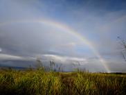
The reward is an exceptionally beautiful and huge run through a variety of ecosystems, and the best vistas of the East, North, and West sides of the island you’re likely to find anywhere. This was definitely a highlight of my time in Hawaii.