Mauna Loa Observatory Trail
The shorter option for the Mauna Loa Summit
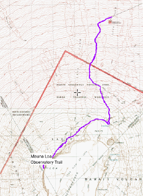
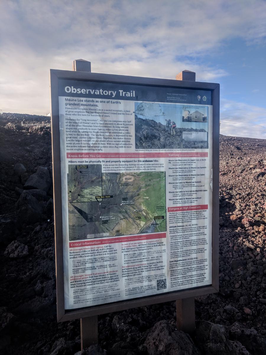
Starting at the lofty elevation of 11,000’ at the end of a 17 mile paved road ascending from Saddle Road, the Mauna Loa Observatory Trail is the easiest and fastest access to the summit of Mauna Loa. Unlike the slightly taller Mauna Kea, Mauna Loa has no vehicular access to the top. Three trails reach the caldera and link to the summit – the more popular but epically long Mauna Loa Trail from the east, the mid-sized but red-tape bound Ainapo Trail from the south, and the Mauna Loa Observatory Trail from the North.
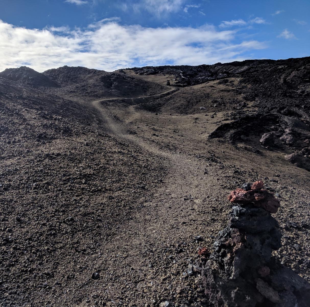
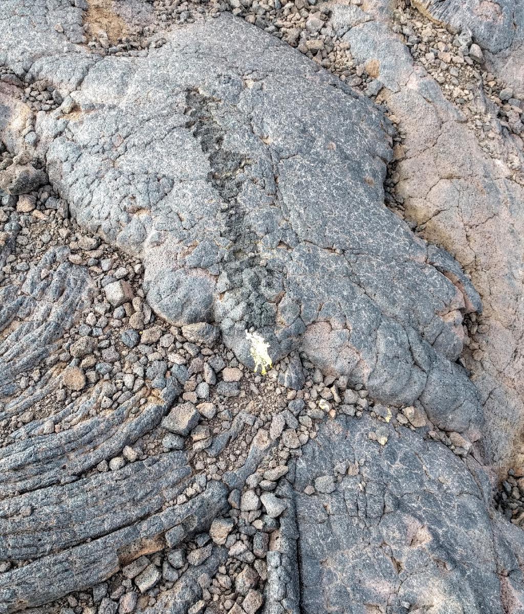
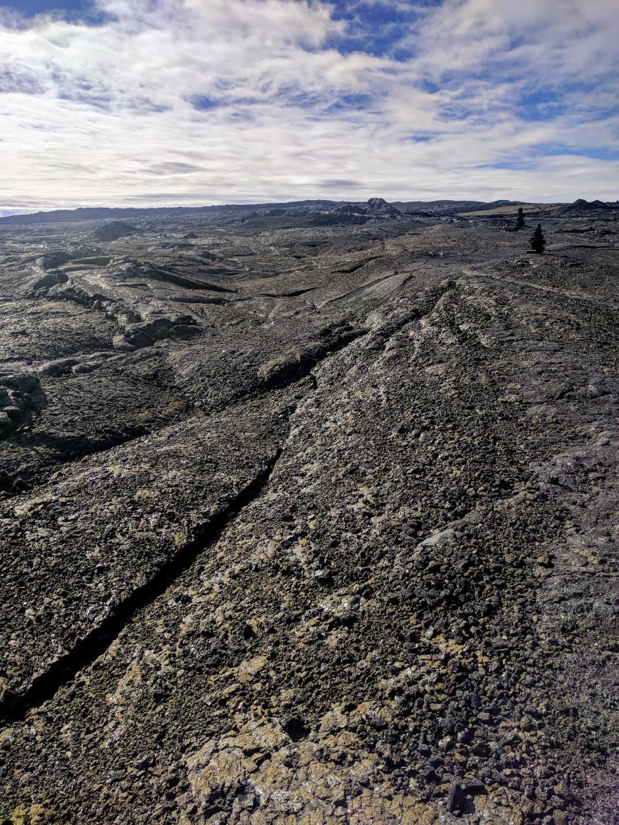
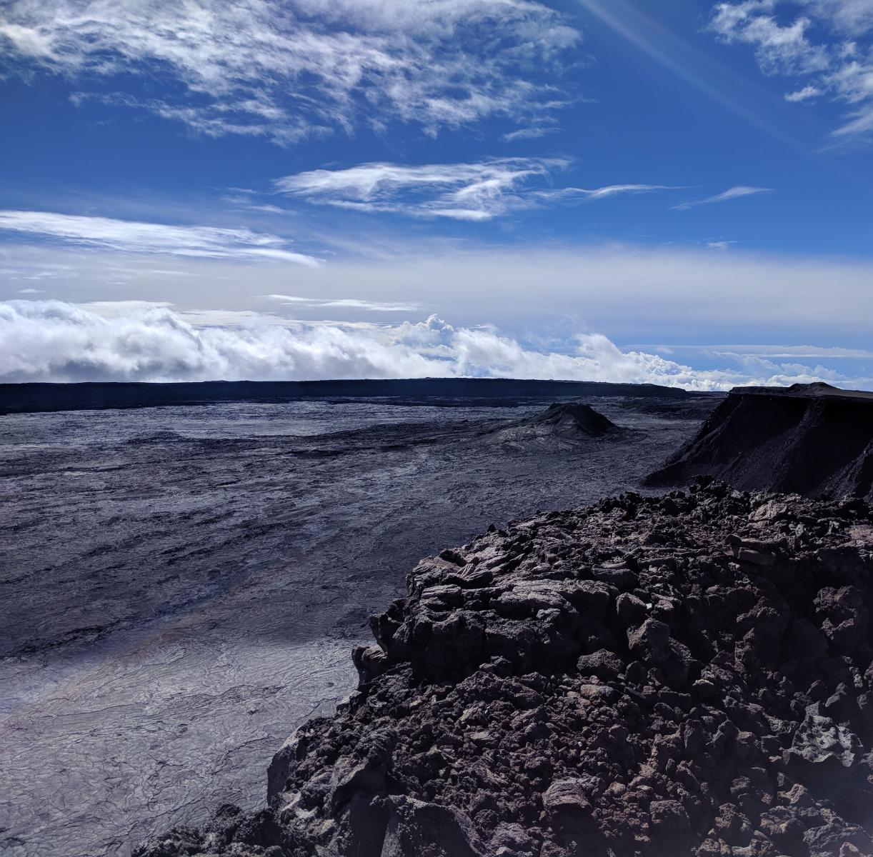
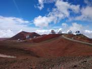
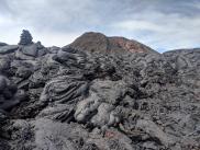
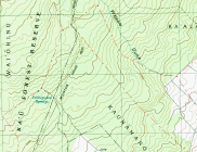
The parking for the observatory trail is at the namesake Mauna Loa Observatory, a station primarily engaged in atmospheric and climate research. From the observatory, the route begins the steady ascent toward the summit through dense fields of a’a’ and pahoehoe lava. Toward the bottom of the trail, paint lines on the rock indicate the route; but for the most part it is marked by 4-5’ tall lava cairns.
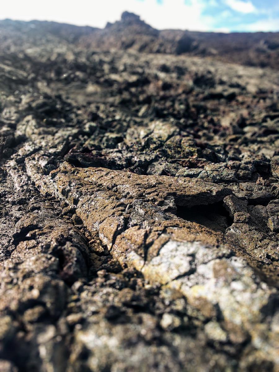
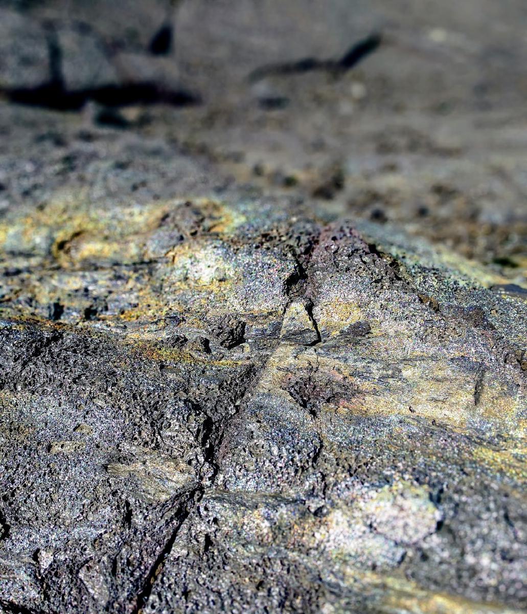
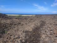
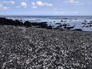
The terrain feels like an abridged tour of the same geological features found on the longer Mauna Loa Trail: rocks of all colors of the rainbow, glassy pits lined with Pele’s Tears, open steaming vents, gold shining flakes that crumble like glass, and acres of jagged fractal-sharp a’a’ lava.
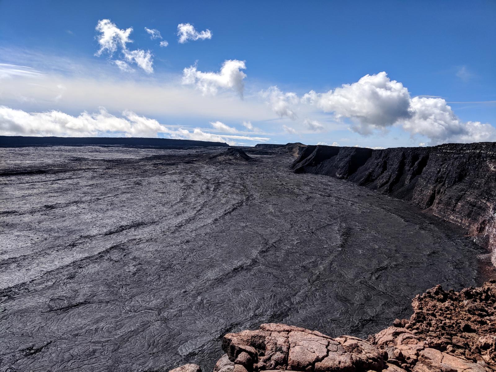
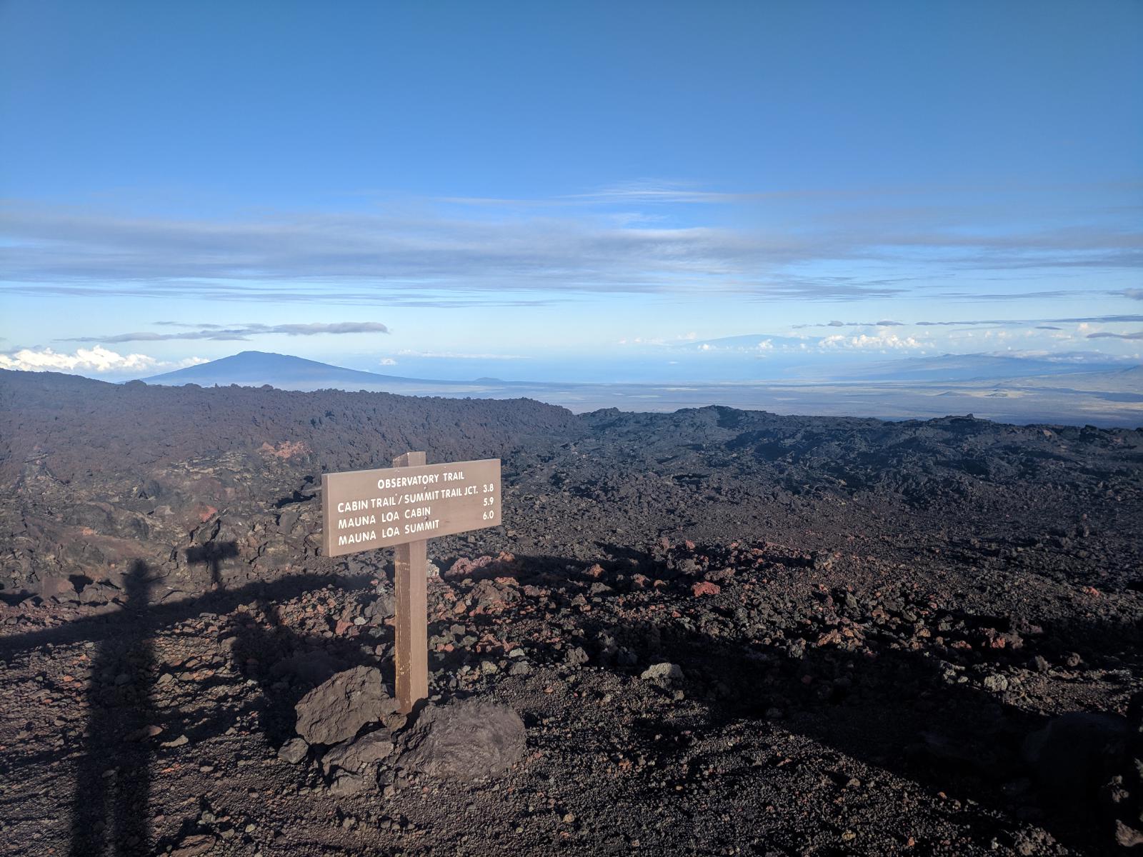
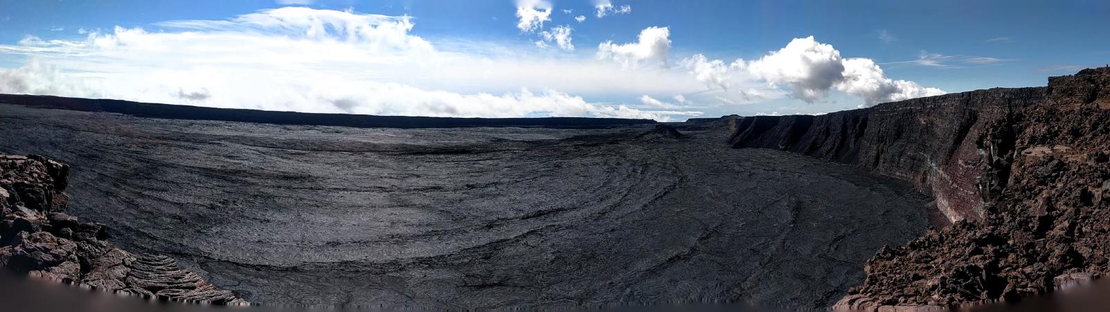
Just 3.8 miles in, the trail reaches the rim of the caldera (a point 16 miles into the journey up the Mauna Loa Trail, or 11 miles from the base of Ainapo). From there, it’s a quick 2.5 miles around the northwest side of the caldera to the summit.
Charlie’s notes: After having suffered the agony and ecstacy of the Mauna Loa Trail a few weeks before, this trail almost felt like cheating. I realized that the furthest point of that journey, which had felt like pushing deep into the wilderness, was only about 4 miles away from buildings, cars, and paved road. But I was grateful for a second chance at reaching the summit after weather forced me to turn around from the caldera before. The geology is astounding, the views are epic, and this trip is absolutely worth the journey.
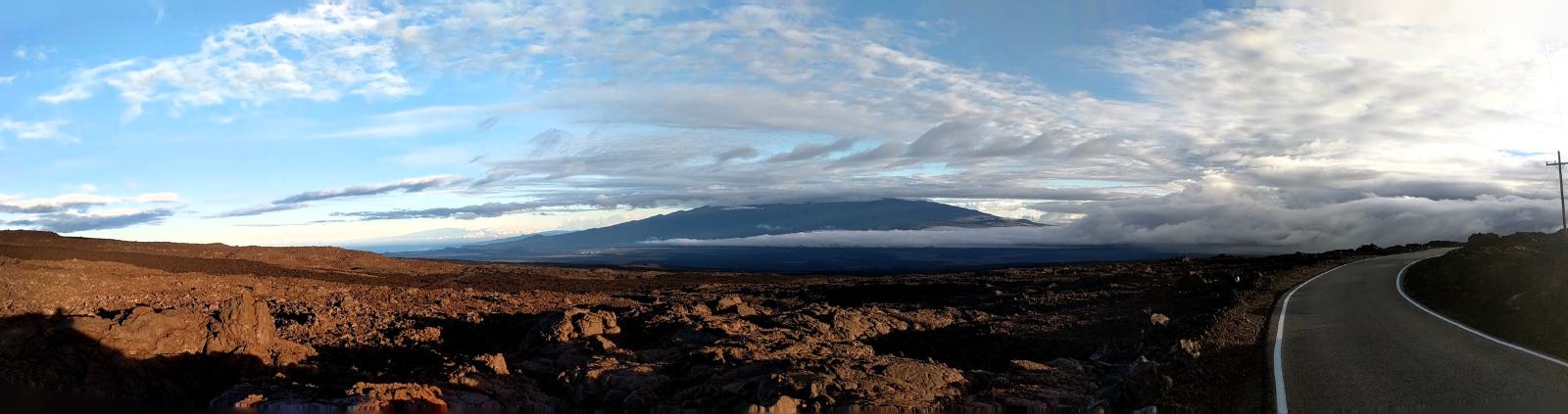
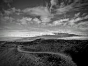
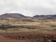
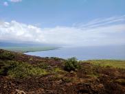
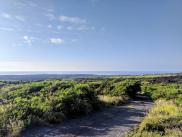
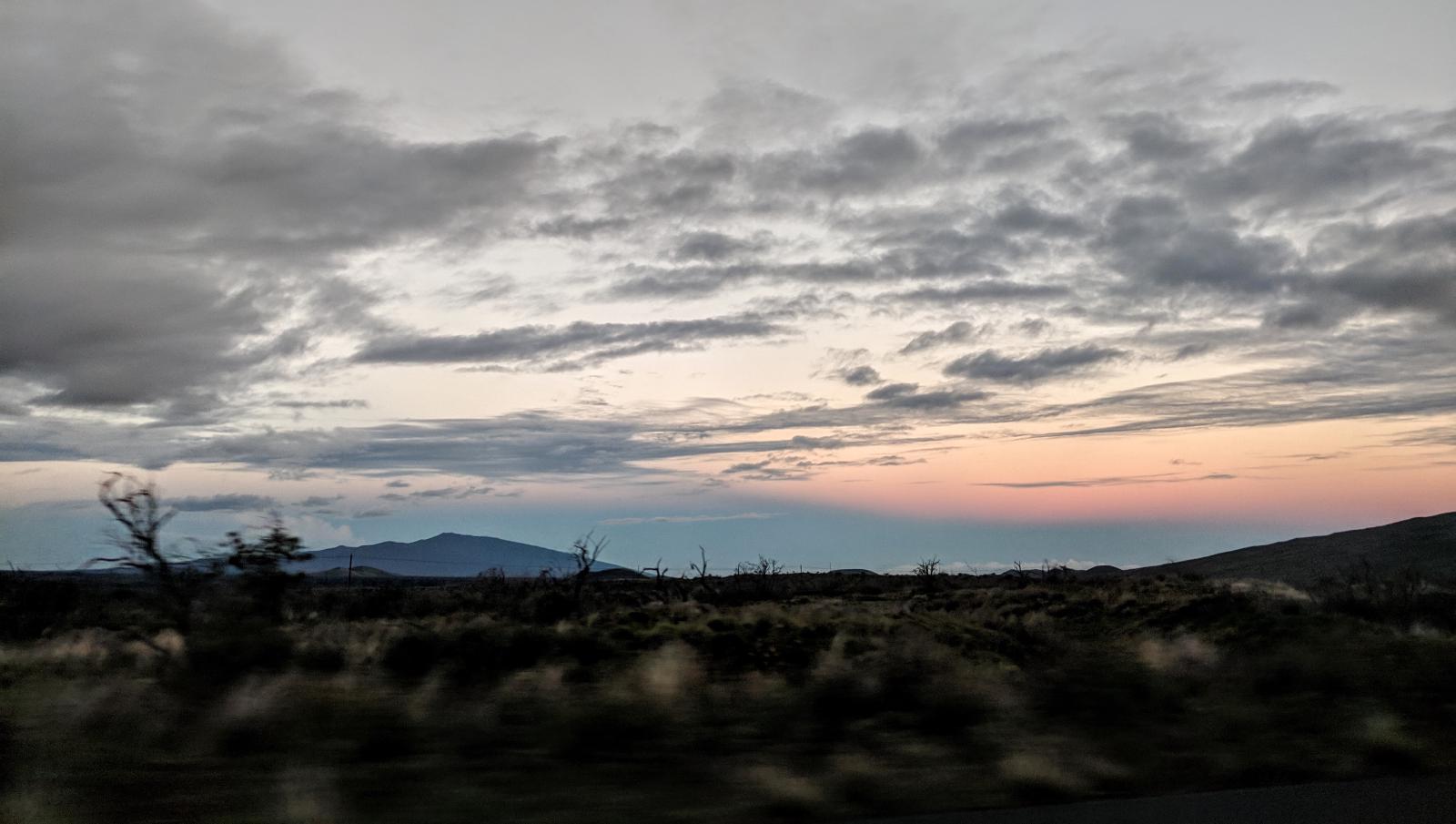
Laura’s notes: We had a beautiful day on this trail. Our early morning start granted us a view of Mauna Kea across the valley with snow on her upper slopes from the night before that melted as the day warmed. The trail was generally easy to navigate with cairns and painted rocks. Very colorful rockscapes and amazing views do not disappoint.