Humu'ula Trail (Hamakua)
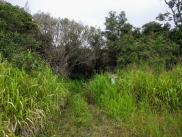
A muddy non-trail through the jungle
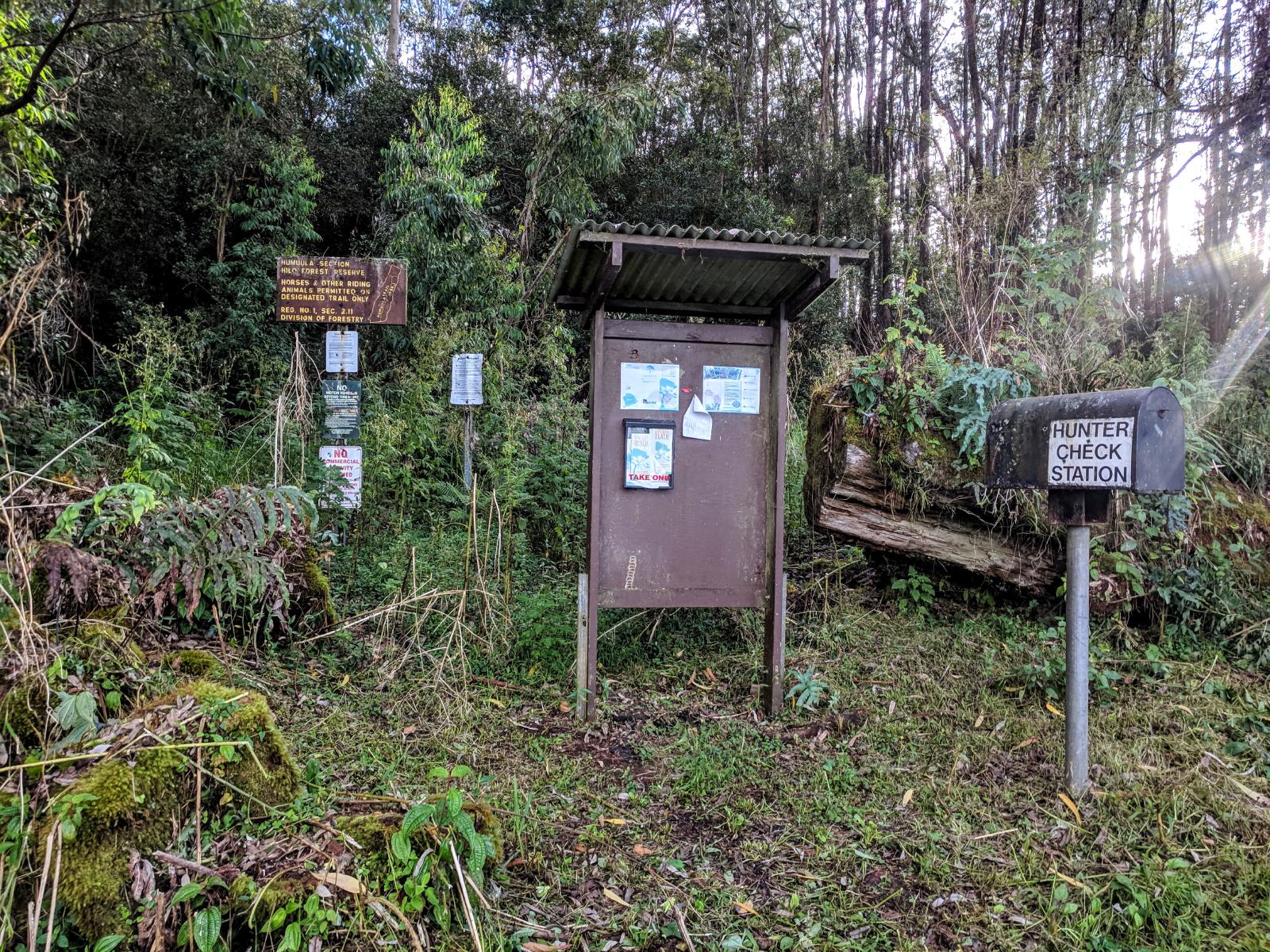
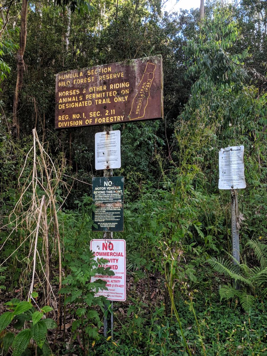
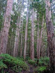
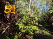
Not to be confused with the Mauna Kea Summit trail, which also goes by the name “Humu’ula”, the Hamakua district’s Humu’ula trail is one of the few trails listed on the State of Hawaii’s Na Ala Hele Trail system. But listed is about all it is. The trail itself barely exists; it appears to function now primarily (if at all) as a place for hunters to park before bushwacking into the forest.
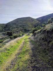
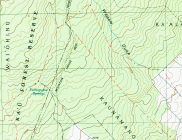
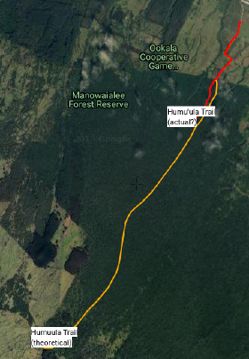
The route is described in detail in a 2009 blog post on the Hawaiian Forest website. At the time of that posting, the authors said that the trail “became less distinct” as it ascended; later commenters on that post from 2016 said that the trail “completely disappears” 3 miles in. As of 2018, the trail is all but gone. The official trail route (shown in orange in this caltopo map, and included in the GPX file) is a cartographer’s fiction, as evinced by its unnaturally smooth line through the dense forest. The route on the ground, at least at the start, is well off that line. We turned around after only a mile of working slowly through the jungle struggling to maintain the faint track.
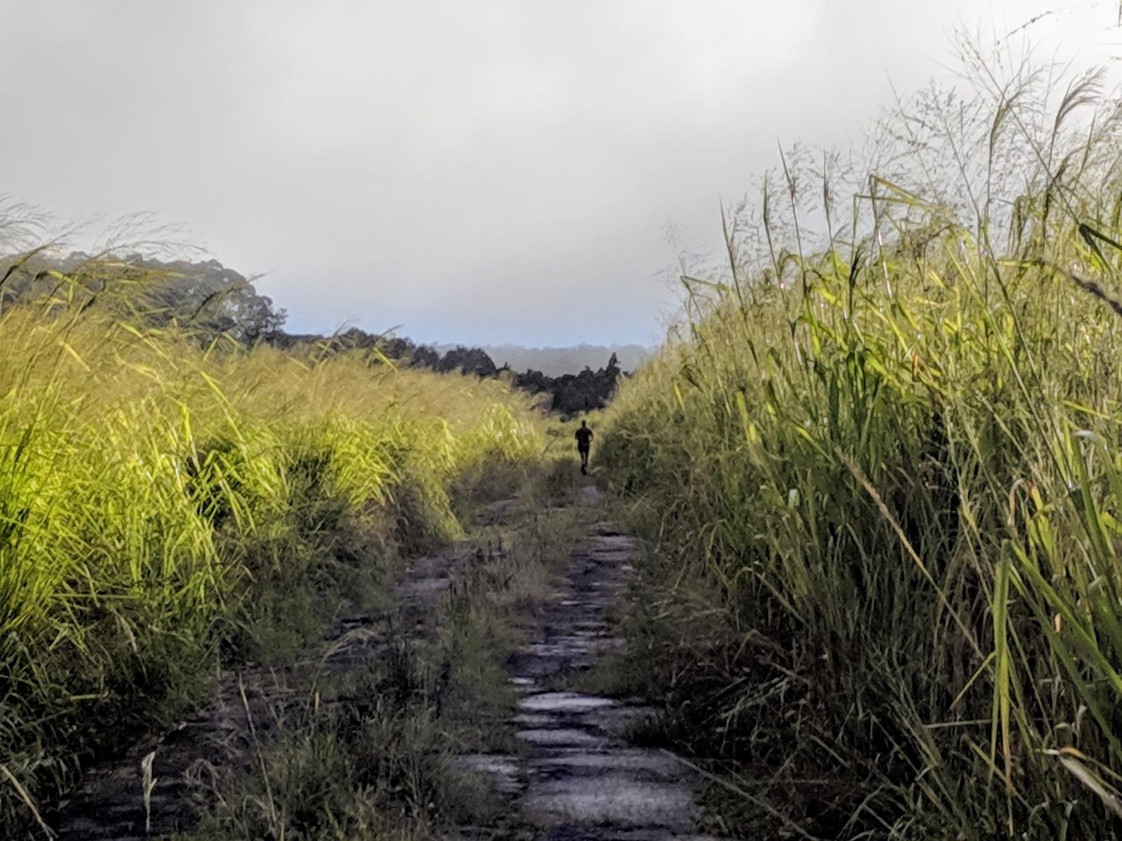
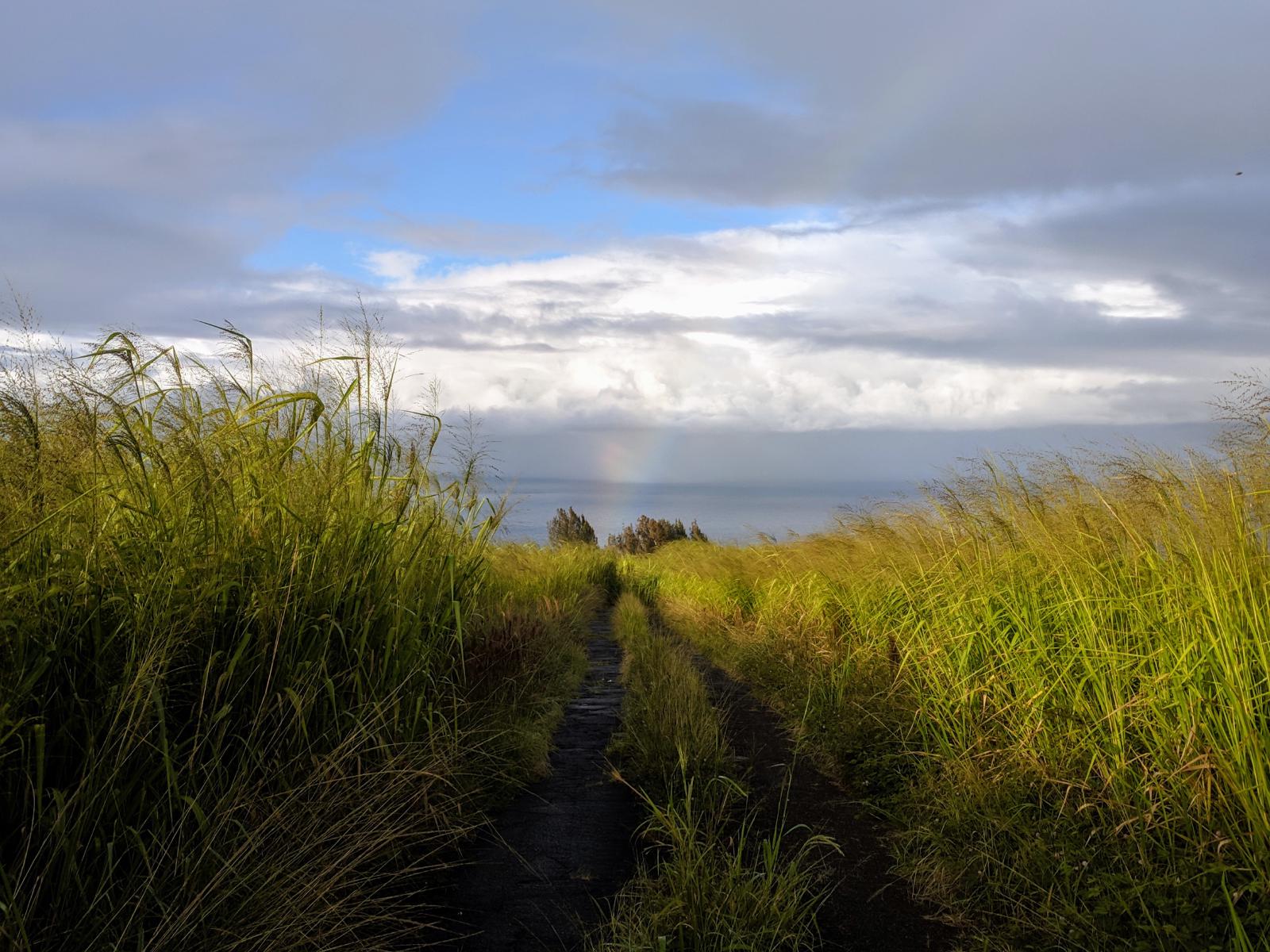
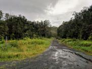
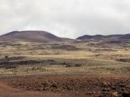
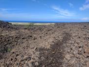
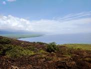
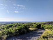
Accessing the trailhead involves driving on some ambiguously private roads past the Big Island Dairy on O’okala Rd. We parked our 2wd rental before the pavement got too gnarly near the intersection with Ka’awali’i Rd. This left us with a mile-long approach across deeply pitted former pavement between towering stands of elephant grass, with beautiful views of the coastline below. With 4wd, one could presumably approach as far as the trailhead itself; or alternately, drive the Mana Road from Waimaia to the uphill side of the trail to attempt it from the opposite direction.
(As an aside: excited by the possibility of finding trails climbing the slopes in the Hamakua district, I spent a fair amount of time trying to find other routes into the Humu’ula and Laupāhoehoe forest management districts. One initially promising line was the Blair Road, a 4wd logging road in Laupāhoehoe. While public access is allowed on this road, there are no public routes connecting to it that don’t require jungle bushwacks or special permission from landowners. I never found a satisfying accessible trail in these forests. The Forest Service’s 2016 Management Plan for Laupāhoehoe was the best resource I found on the subject.)
Charlie’s notes: This might be a fun adventure for a hike through the dense foliage, and particularly if you have interest in botany. But make no mistake: this is not a runnable trail. The jungle has reclaimed it.
Laura’s notes: I have to laugh when I think back about this “run.” It really was a muddy bush-whack to nowhere.