Captain Cook's Monument Trail Run (with extra)
Six mile grass bushwack with a steep descent to the ocean, and a rough lava side spur
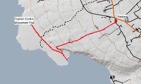
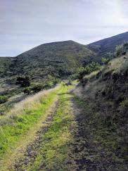
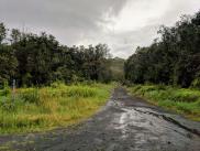
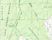
The Captain Cook Monument Trail is an out-and-back trail that descends steeply for about 2 miles from Napo’opo’o Road in the town of Captain Cook to the coast. We extended it by including a spur trail (an old 4x4 road) to add another mile in each direction.
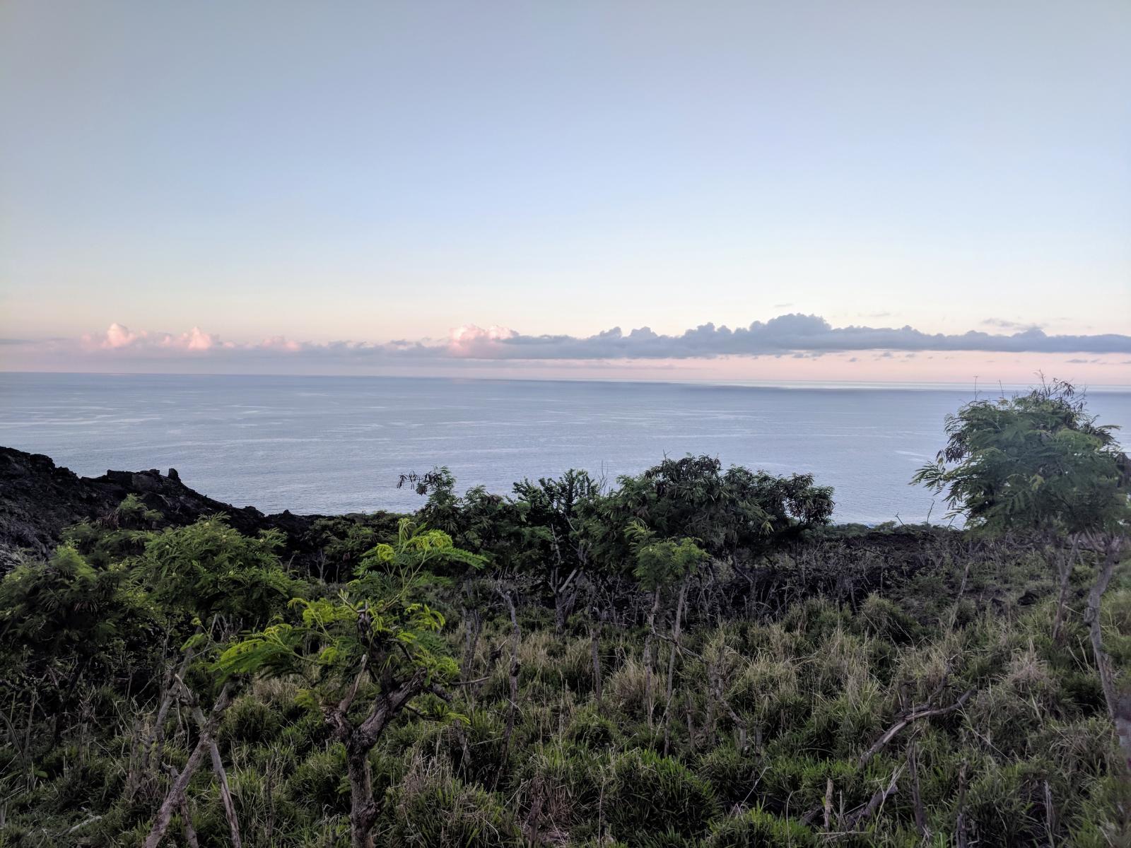
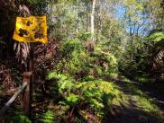
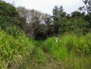
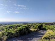
The start of the trail is thickly choked with invasive 8 foot tall elephant grass, a crop originally introduced for pasturage but now ubiquitous at lower elevations on the Big Island. The grass is quite rough on the skin; we were both left with raw thighs from micro-cuts from brushing past its leathery blades. Near the top, a hopeful laminated home-printed sign suggeted a community trail maintenance strategy: hikers should pick up one of the unspecified grass-cutting implements to swing down the trail as they walk, and return the tool when they exit. The tools seemed to be long gone; but the signs suggesting their protocol remained.

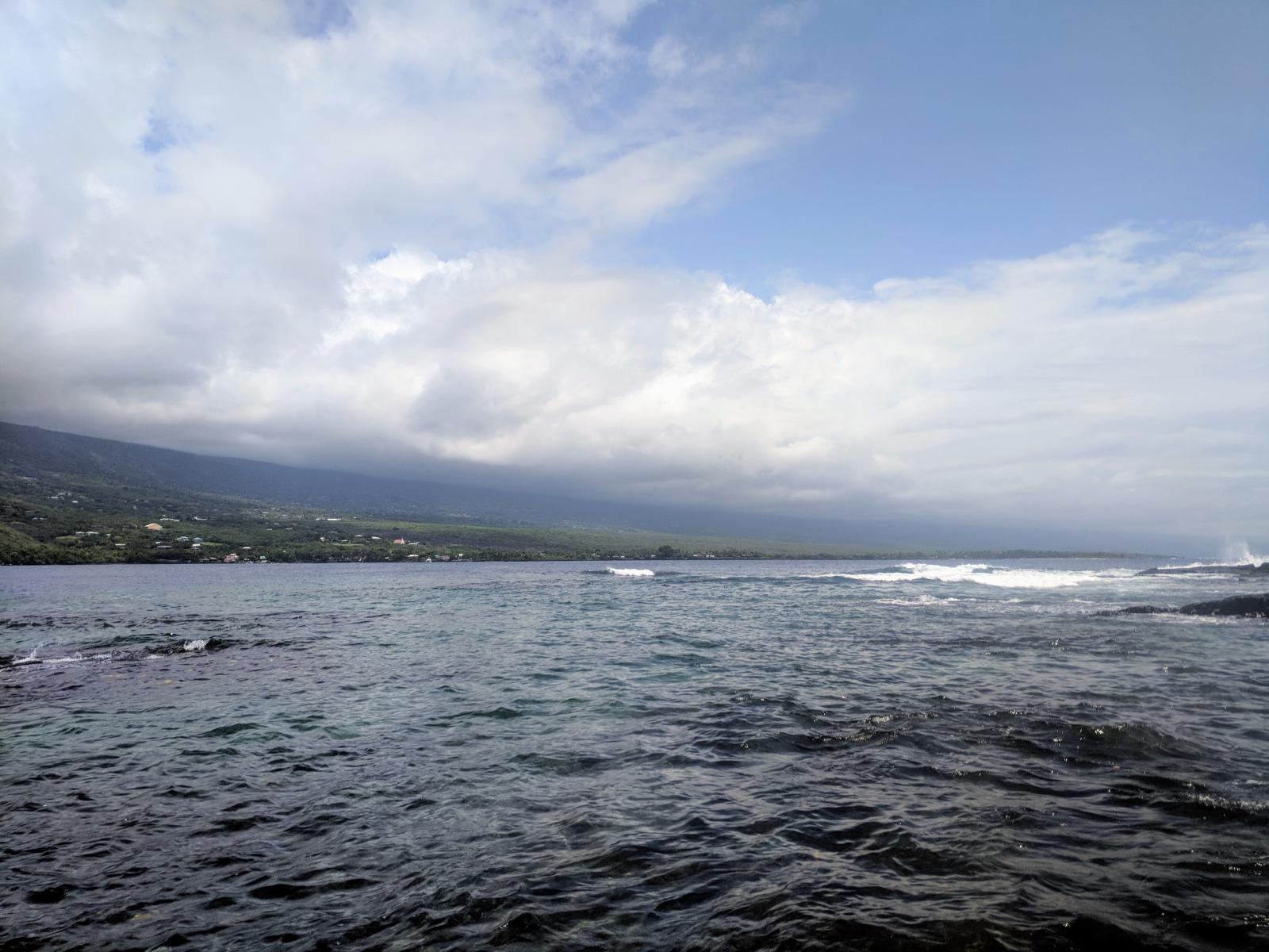
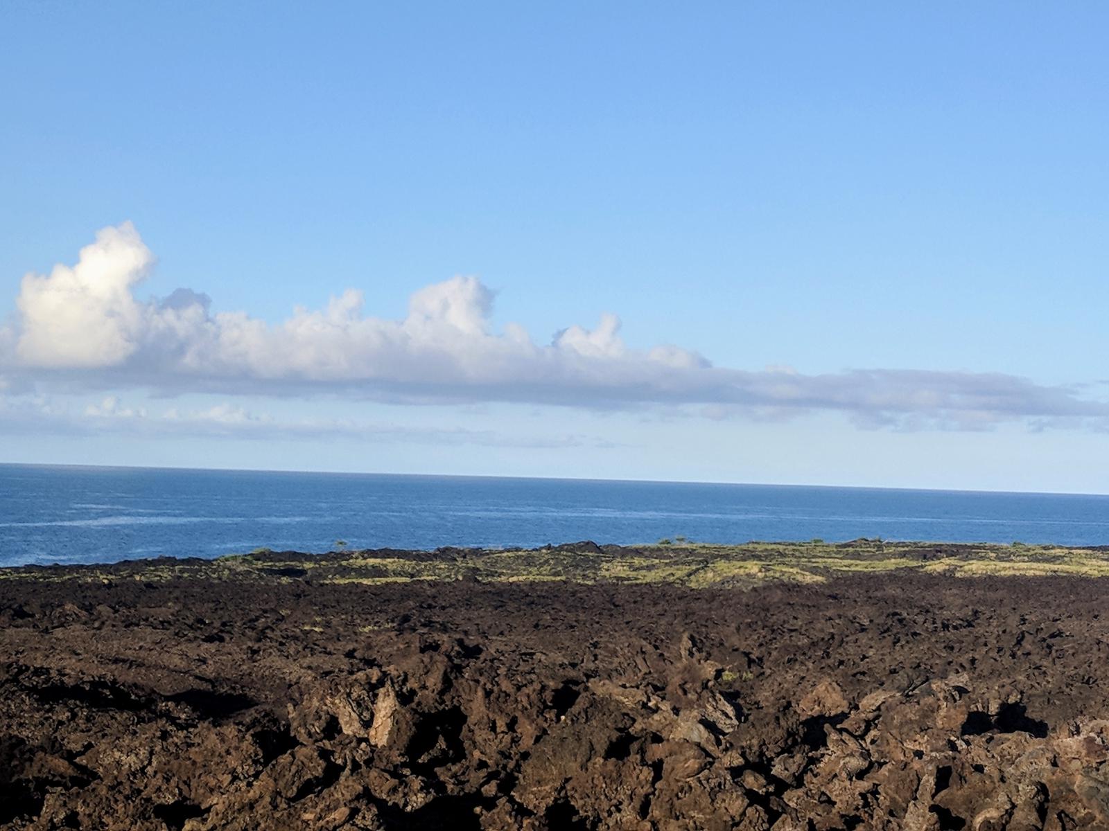
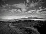
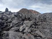
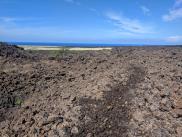
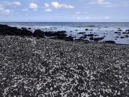
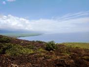
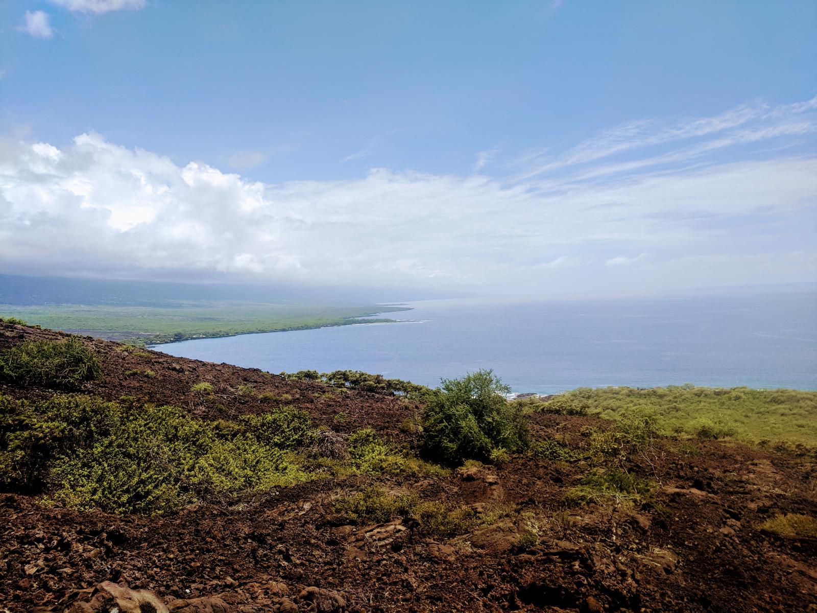
About a mile and a half in, the trail opens to a beautiful overlook just prior to the final descent into the lava field along the coast, where we saw feral goats. The coast has no beach, but has a thin band of pahoehoe lava, and a small grassy patch around the monument commemorating the namesake Brittish colonizer, who was killed while attempting to kidnap the Hawaiian King here. Along the coast is some of the better snorkeling on the island, often accessed by kayakers from Kealakekua Bay. Just at the bottom of the final descent, a faint abandoned 4wd road extends for about a mile to the northwest. The road passes a gate (without obvious no-tresspassing signage, but possibly private land), and forges through rolly, loose a’a’ to another coastal terminus.
This was one of the most heavily trafficked trails we took on the island. Expect to see a lot of people, and on popular weekend days, a struggle to find a place to park.
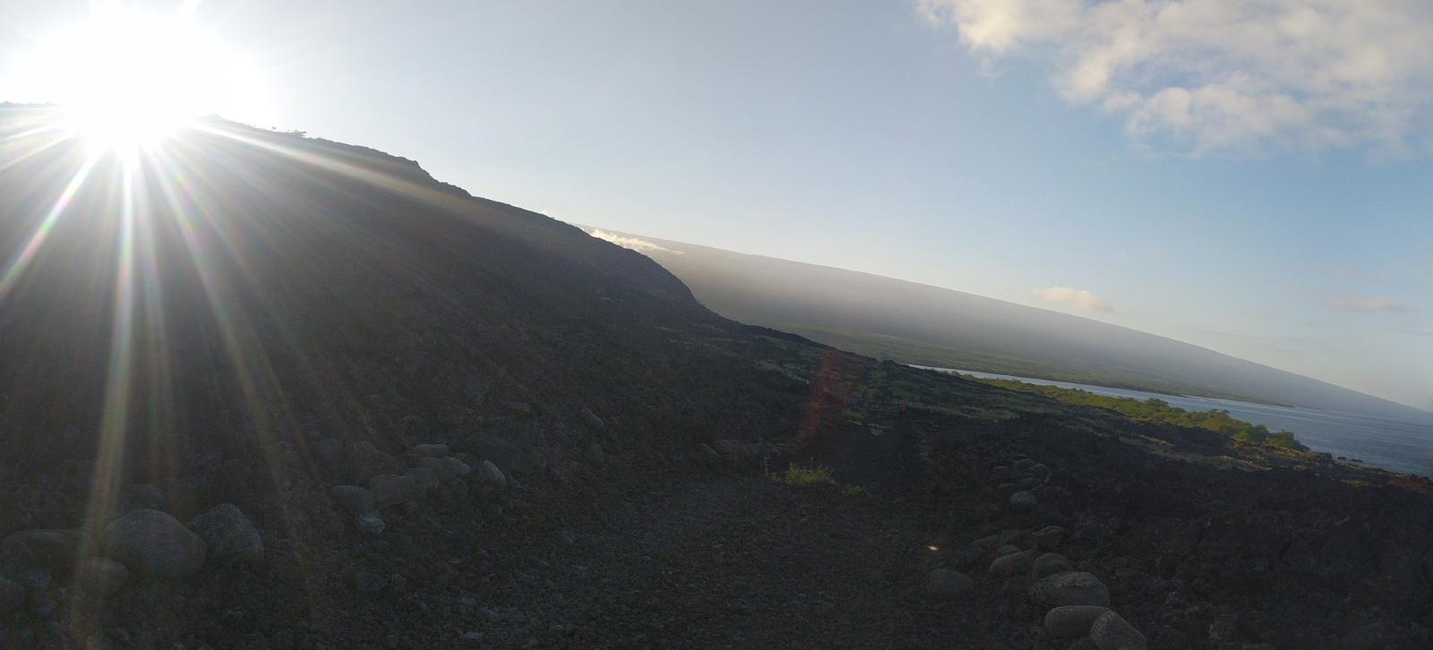
Charlie’s notes: Hoping for a long run on the day we were in Captain Cook, I’d intended to do three laps of this route. We got an early start (on the trail at 6:10am), but the heat was oppressive enough by 8am that I hung it up after two. While the side spur moderated the total elevation change somewhat, it was difficult going with the unstable lava rock, so didn’t make it much easier.
Laura’s notes: A nice hike with a good amount of elevation, and superb snorkeling in the bay just off the monument, but not my favorite run. Because the main trail is popular, it can be awkward to pass hikers. The spur trail is rough on the feet and ankles – the trail surface is loose lava boulders.